search.ch

Thurweg

Regional route No. 24, Weinfelden–Frauenfeld
  • Image 1

Description

Regional route
No. 24 (Weinfelden–Frauenfeld)
Length
24 km
Ascent • Descent
↑ 90 m • ↓ 120 m
Lowest point • Highest point
388 m • 444 m
Hiking time
5 h 45 min
Grade
easy (hiking trail)
Fitness level
difficult
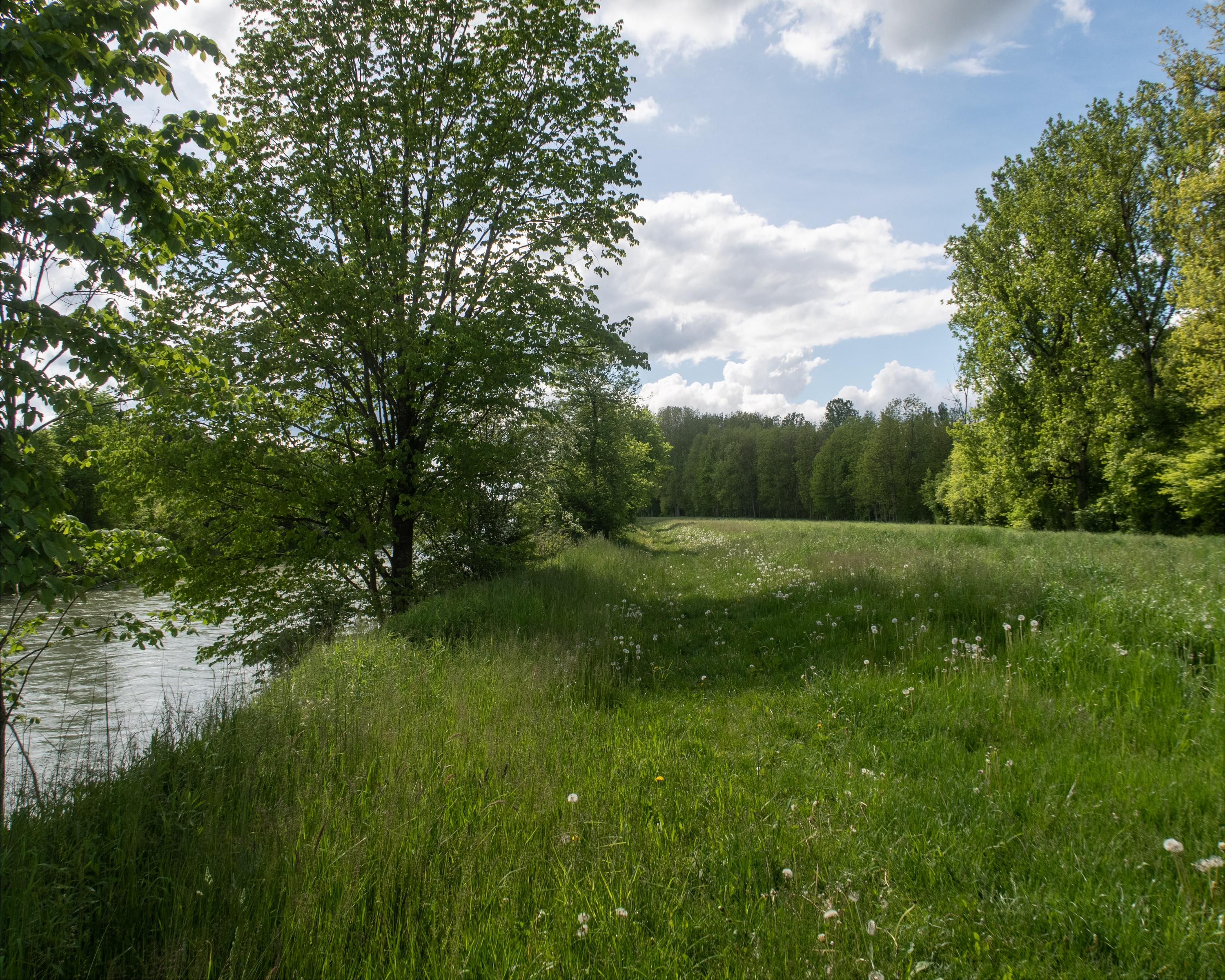
The sixth stage of the Thurweg trail starts in the small and lively Thurgau town of Weinfelden. It runs on well-maintained and natural paths along the Thur to the destination for the stage, Frauenfeld. Along the way, various structures, such as the wire rope bridge near Bussnang and the Zollhus Bridge near Eschikofen, offer insights into the history of the region.

Height profile

Weather:

Comments about this activity or place?

Thank you for your feedback!