DE
FR
IT
EN
Directory
Weather
Map / Route
Timetable
Leisure
TV guide
Cinema
Snow
Web search
Apps
More
Personal Data »
Login:
Register
Password forgotten
or
Log in with local.ch
Log in with Apple
Log in with Facebook
Log in with Google
Log in with LinkedIn
Please note that our new
privacy statement
as well as the revised
terms and conditions of use
apply.
Leisure
Hike in Lake Murten
Chemin du Lac de Morat
Accessible route No. 283, Stage 3: Murten – Môtier
Description
Accessible route
No. 283
Length
11 km
Ascent • Descent
↑ 180 m • ↓ 200 m
Lowest point • Highest point
429 m • 504 m
Hiking time
2 h 50 min
Grade
difficult
Fitness level
easy
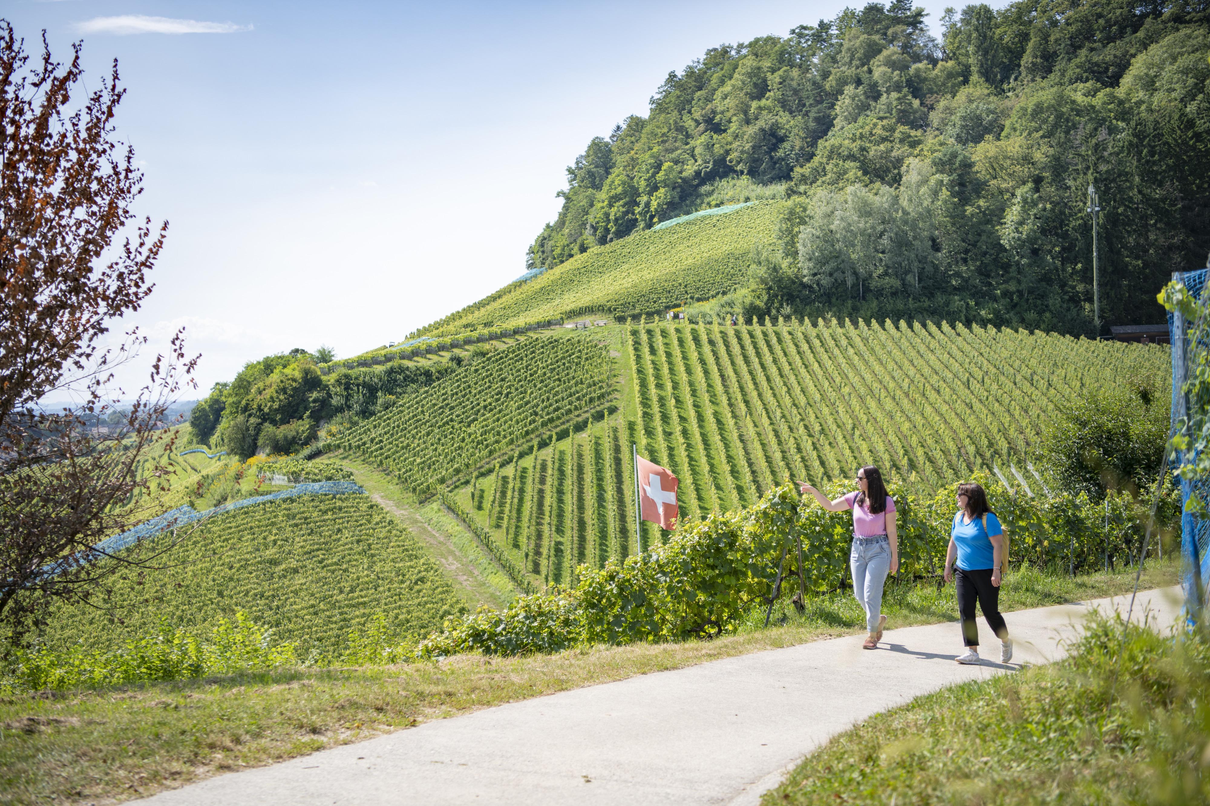
The small medieval town of Murten, with its lake shore directly before the town walls, offers an especially scenic route around the Murtensee lake. The appealing lakeside promenade, vineyards and the historic old town is a must for romanticists!
Booking Information
E-mail:
tourismus@procap.ch
Comments on this information?
We welcome your feedback!
Presented by
Route
Height profile
Weather:
More...
Procap
Frohburgstrasse 4, 4600 Olten
Procap
Frohburgstrasse 4, 4600 Olten
062 206 88 30
Comments about this activity or place?
Incorrect information
Missing information
Another topic
Thank you for your feedback!
Close