DE
FR
IT
EN
Directory
Weather
Map / Route
Timetable
Leisure
TV guide
Cinema
Web search
Apps
More
Personal Data »
Login:
Register
Password forgotten
or
Log in with local.ch
Log in with Apple
Log in with Facebook
Log in with Google
Log in with LinkedIn
Please note that our new
privacy statement
as well as the revised
terms and conditions of use
apply.
Leisure
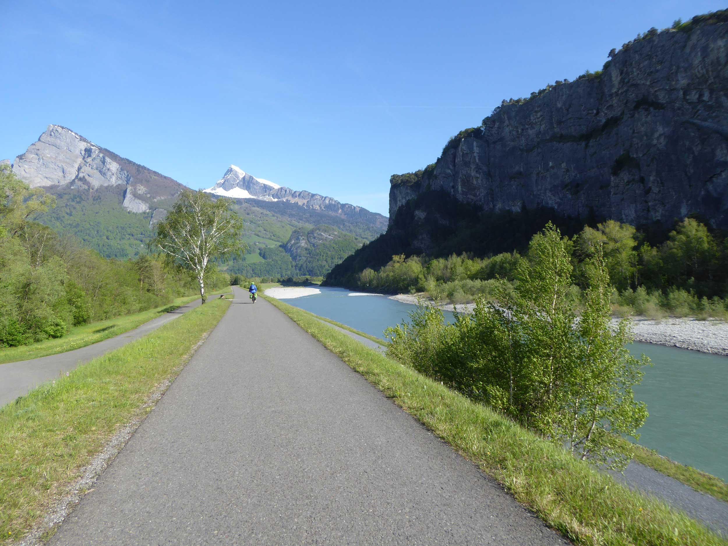
Biking in Graubünden
Rhine Route
National route No. 2, Chur–Buchs (SG)
Description
National route
No. 2 (Chur–Buchs (SG))
Length
49 km
Ascent • Descent
↑ 320 m • ↓ 440 m
Lowest point • Highest point
444 m • 630 m
Fitness level
medium
The Bündner Herrschaft, the fertile garden and wine region of the canton, is located on a mound of slate detritus. The Tamina Gorge carries healing water down to the valley and Johanna Spyri‘s Heidi is stirring up nostalgic feelings.
Comments on this information?
We welcome your feedback!
Presented by
Route
Height profile
Weather:
More...
Comments about this activity or place?
Incorrect information
Missing information
Another topic
Thank you for your feedback!
Close