search.ch

Via Albula/Bernina

Regional route No. 33, Spinas–St. Moritz
  • Image 1

Description

Regional route
No. 33 (Spinas–St. Moritz)
Length
13 km
Ascent • Descent
↑ 240 m • ↓ 280 m
Lowest point • Highest point
1698 m • 1848 m
Hiking time
3 h 15 min
Grade
easy (hiking trail)
Fitness level
medium
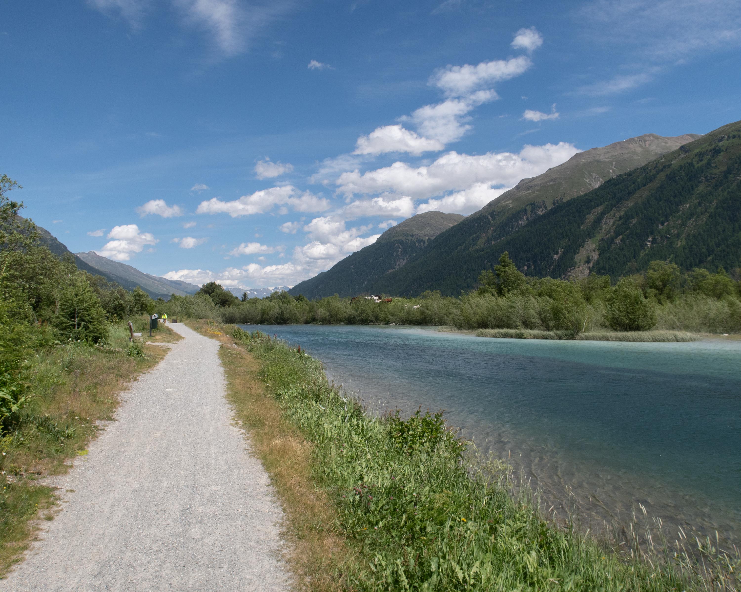
In the secluded Bever Valley, the path follows the Beverin mountain stream through larch forests. Later it continues upstream along the Inn with views of the Bernina massif. Through the renatured river landscape along the Rhaetian Railway the route leads to the exclusive holiday resort of St. Moritz.

Height profile

Weather:

Comments about this activity or place?

Thank you for your feedback!