search.ch

Nationalpark-Panoramaweg

Regional route No. 45, Sent, Sur En–Lavin
  • Image 1

Description

Regional route
No. 45 (Sent, Sur En–Lavin)
Length
105 km
Ascent • Descent
↑ 7300 m • ↓ 6900 m
Lowest point • Highest point
1127 m • 2941 m
Grade
medium (mountain hiking trail)
Fitness level
difficult
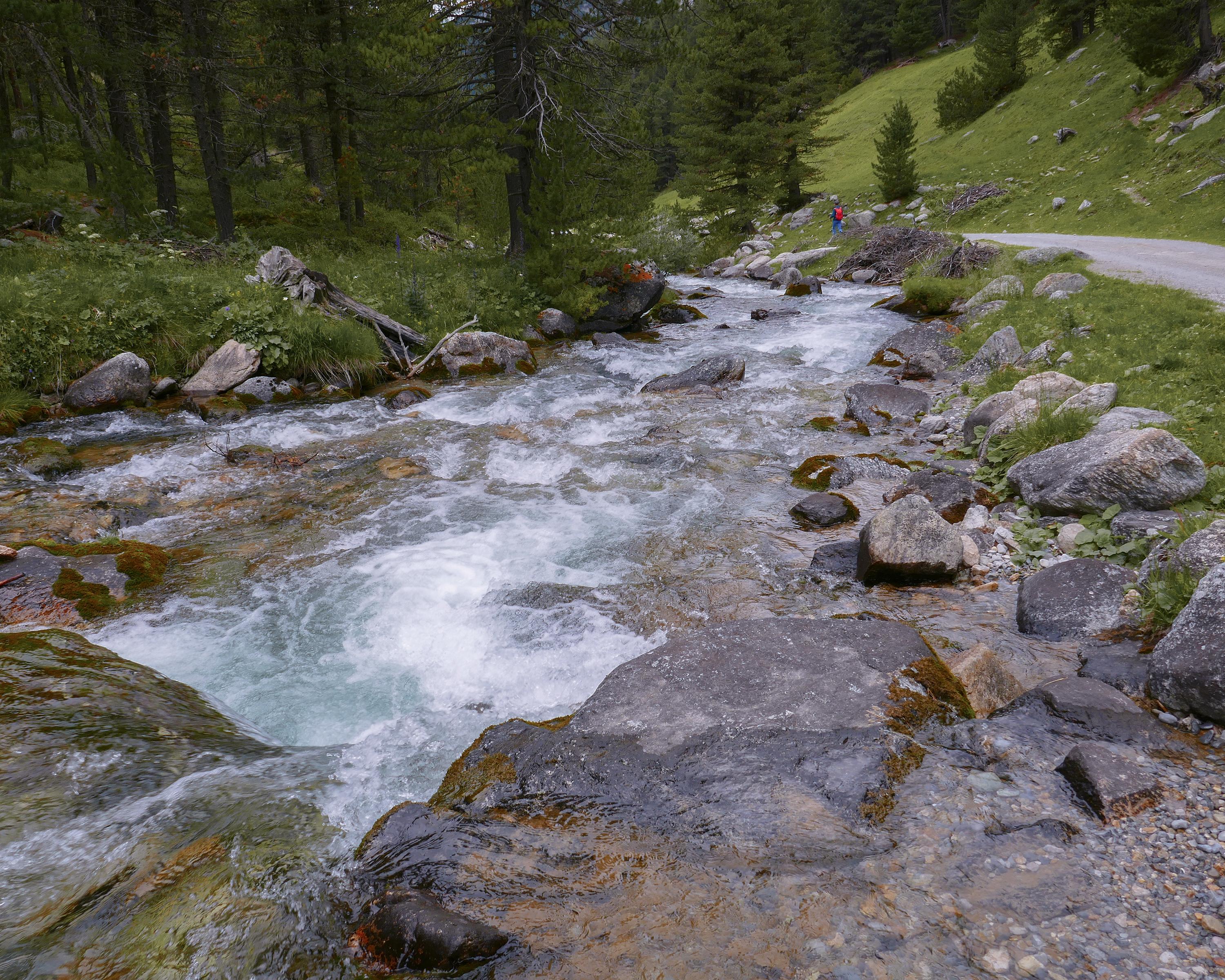
Experience 7 days of the pristine environment in the rugged canyons and on the steep mountain slopes in and around the Swiss National Park. At an altitude of 2,945 m, the trail leads along smugglers’ paths through tunnels in the rocks. Dense mountain forests, expansive Alpine pastures and the vibrant colours of mountain lakes and Alpine flowers are a delight to see.

Height profile

Weather:

Comments about this activity or place?

Thank you for your feedback!