search.ch

Alpine Panorama Trail

National route No. 3, Les Paccots–Vevey (Corseaux)
  • Image 1

Description

National route
No. 3 (Les Paccots–Vevey (Corseaux))
Length
20 km
Ascent • Descent
↑ 640 m • ↓ 1300 m
Lowest point • Highest point
438 m • 1244 m
Hiking time
6 h
Grade
easy (hiking trail)
Fitness level
difficult
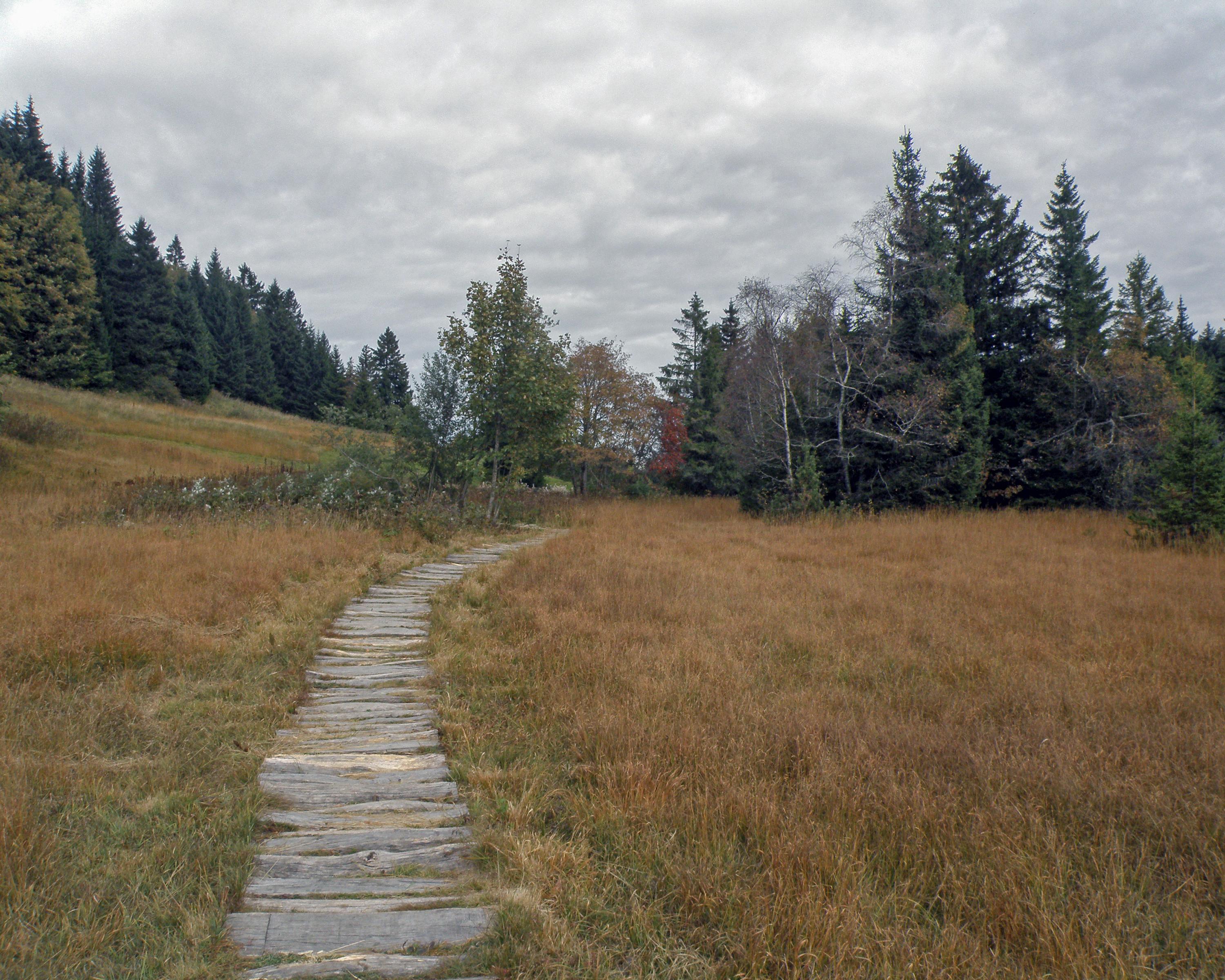
The route to Vevey from Les Paccots takes you from Fribourg to the canton of Vaud. It is also a walk full of new discoveries: the magnificently preserved Lac des Joncs, the Fégire footbridge (border between the cantons) and the enchanting panoramic views over the Pre-Alps or Lake Geneva, as well as regional culinary specialities.

Height profile

Weather:

Comments about this activity or place?

Thank you for your feedback!