DE
FR
IT
EN
Directory
Weather
Map / Route
Timetable
Leisure
TV guide
Cinema
Web search
Apps
More
Personal Data »
Login:
Register
Password forgotten
or
Log in with local.ch
Log in with Apple
Log in with Facebook
Log in with Google
Log in with LinkedIn
Please note that our new
privacy statement
as well as the revised
terms and conditions of use
apply.
Leisure
Hike in Trin
Jakobsweg Graubünden
Regional route No. 43, Tamins–Trin Digg
Description
Regional route
No. 43 (Tamins–Trin Digg)
Length
5 km
Ascent • Descent
↑ 260 m • ↓ 100 m
Lowest point • Highest point
660 m • 824 m
Hiking time
1 h 25 min
Grade
easy (hiking trail)
Fitness level
easy
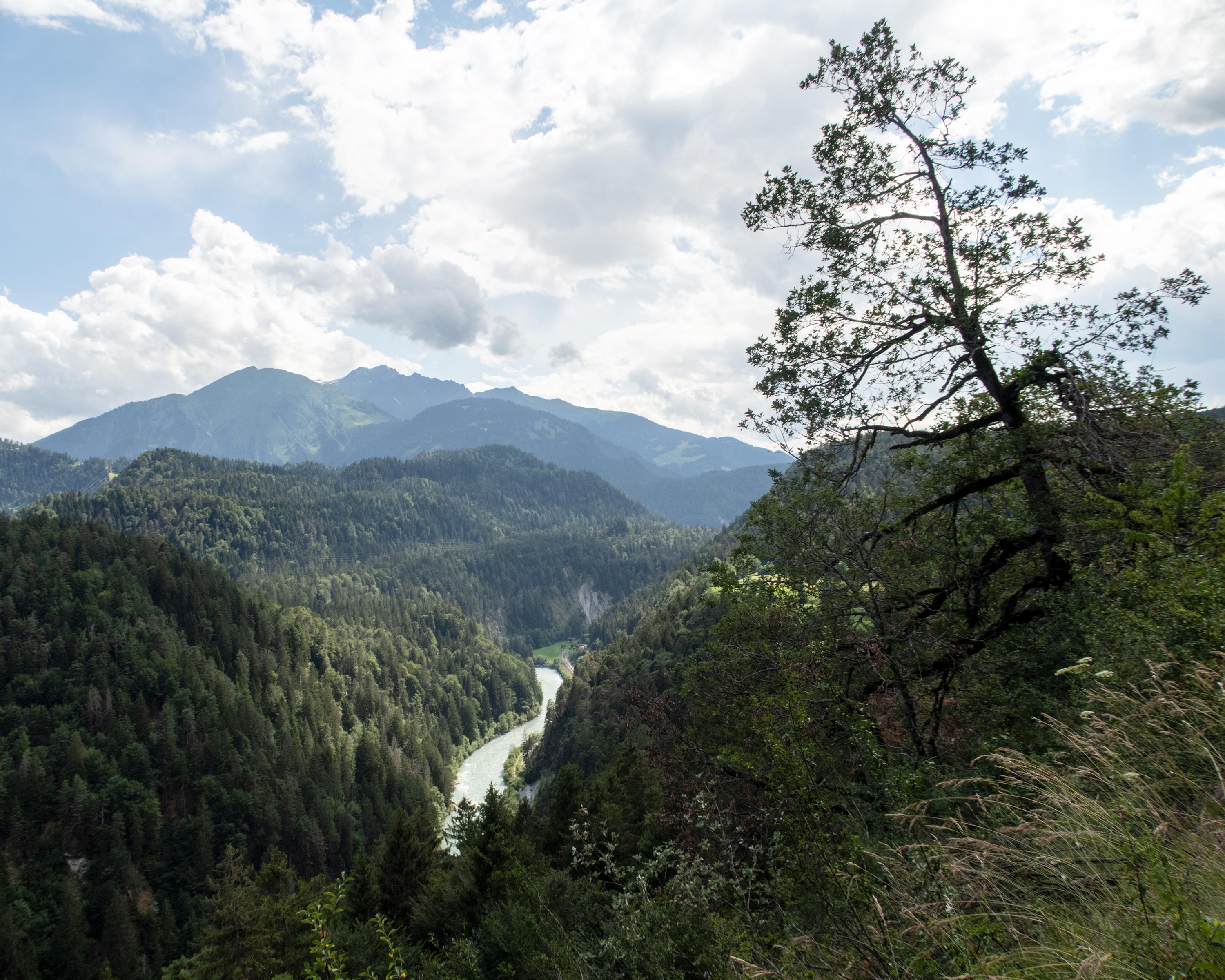
From the village square in Tamins, the path leads along the old country road to the hiking trail that winds its way up to the valley terrace. Impressive views of Bonaduz, Rhäzüns and the canyon of the Rhine Gorge open up here.
Comments on this information?
We welcome your feedback!
Presented by
Route
Height profile
Weather:
More...
Comments about this activity or place?
Incorrect information
Missing information
Another topic
Thank you for your feedback!
Close