search.ch

Prättigauer Höhenweg

Regional route No. 72, Carschinahütte–St. Antönien
  • Image 1

Description

Regional route
No. 72 (Carschinahütte–St. Antönien)
Length
10 km
Ascent • Descent
↑ 140 m • ↓ 950 m
Lowest point • Highest point
1419 m • 2220 m
Hiking time
2 h 50 min
Grade
medium (mountain hiking trail)
Fitness level
difficult
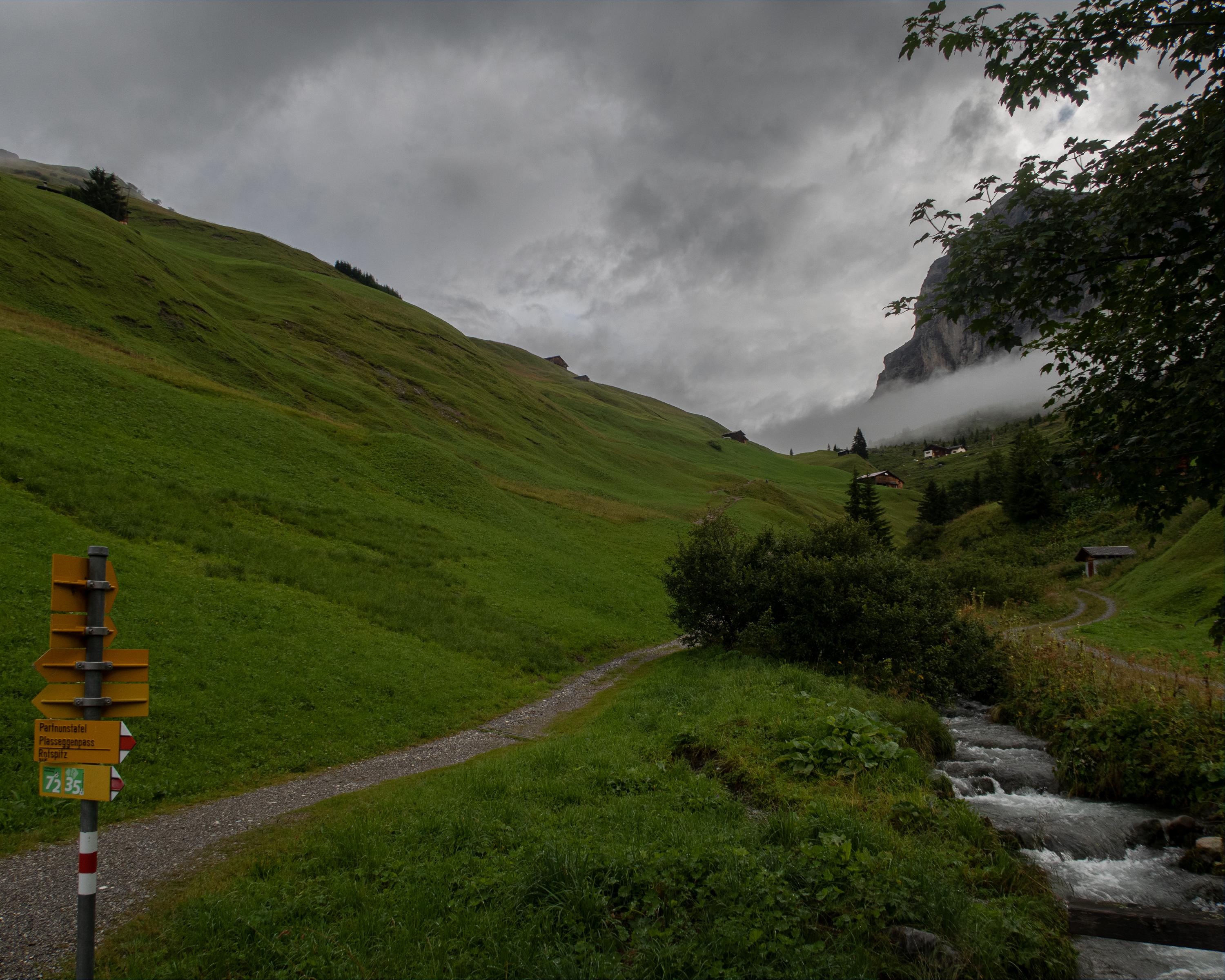
The descent from the Carschina Hut to St. Antönien passes below the limestone cliffs of the Sulzfluh and Schijenflue. The area is a popular climbing paradise, and crystal-clear Partnunsee lake invites you to take a dip. Numerous scattered settlements and pastures are reminders of the Walser culture.

Height profile

Weather:

Comments about this activity or place?

Thank you for your feedback!