search.ch

Le Jorat–Trois Lacs–Emme

Regional route No. 44, Payerne–Aarberg
  • Image 1

Description

Regional route
No. 44 (Payerne–Aarberg)
Length
48 km
Ascent • Descent
↑ 260 m • ↓ 260 m
Lowest point • Highest point
431 m • 480 m
Fitness level
medium
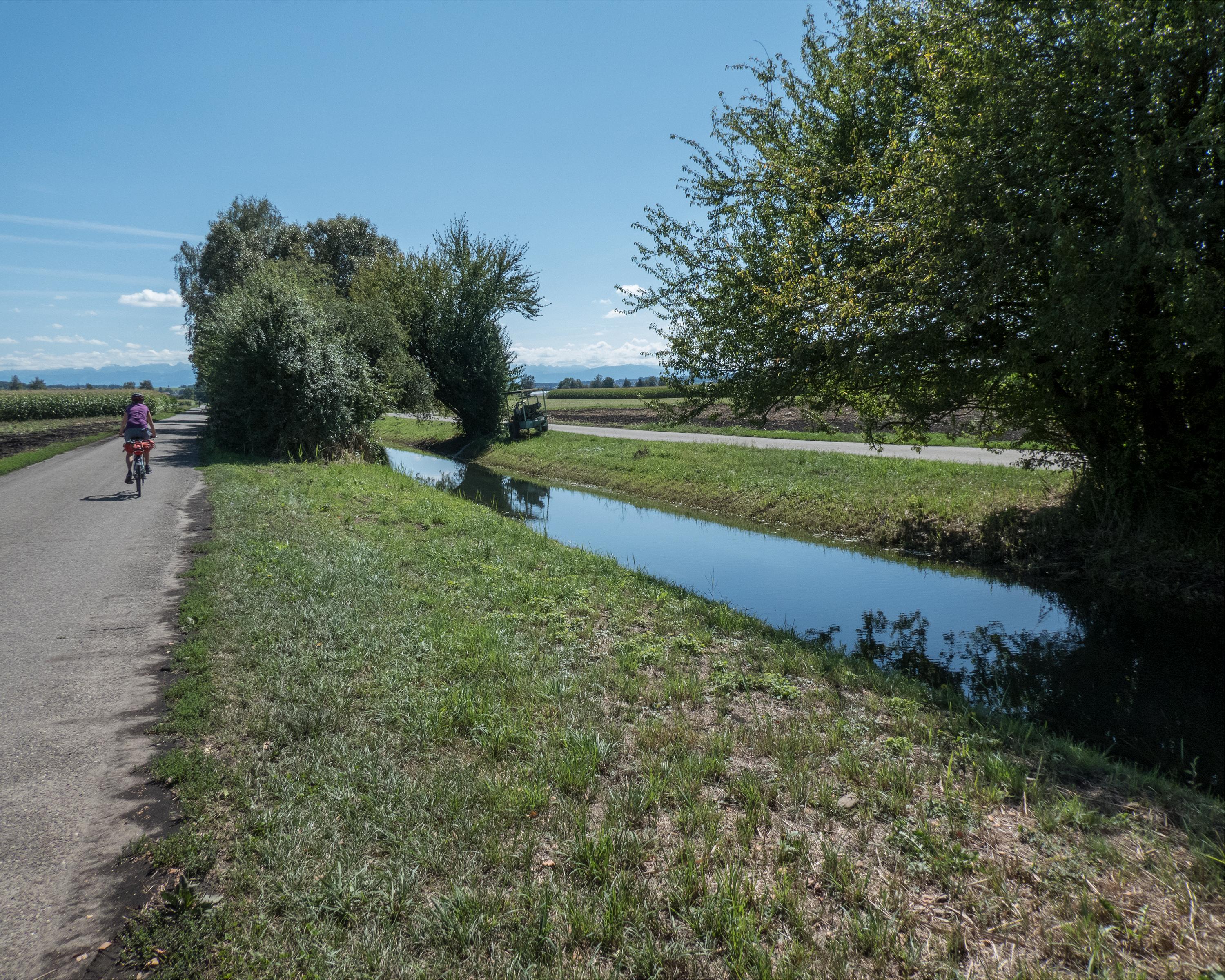
Across changing cantonal borders to the Roman ruins at Avenches, a serene view from Murten's city wall across the lake to Mont Vully, past endless rows of salad greens in the colourful vegetable garden at Grosses Moos, and along the mighty Aare-Hagneck Canal to the small market town of Aarberg.

Height profile

Weather:

Comments about this activity or place?

Thank you for your feedback!