DE
FR
IT
EN
Directory
Weather
Map / Route
Timetable
Leisure
TV guide
Cinema
Web search
Apps
More
Personal Data »
Login:
Register
Password forgotten
or
Log in with local.ch
Log in with Apple
Log in with Facebook
Log in with Google
Log in with LinkedIn
Please note that our new
privacy statement
as well as the revised
terms and conditions of use
apply.
Leisure
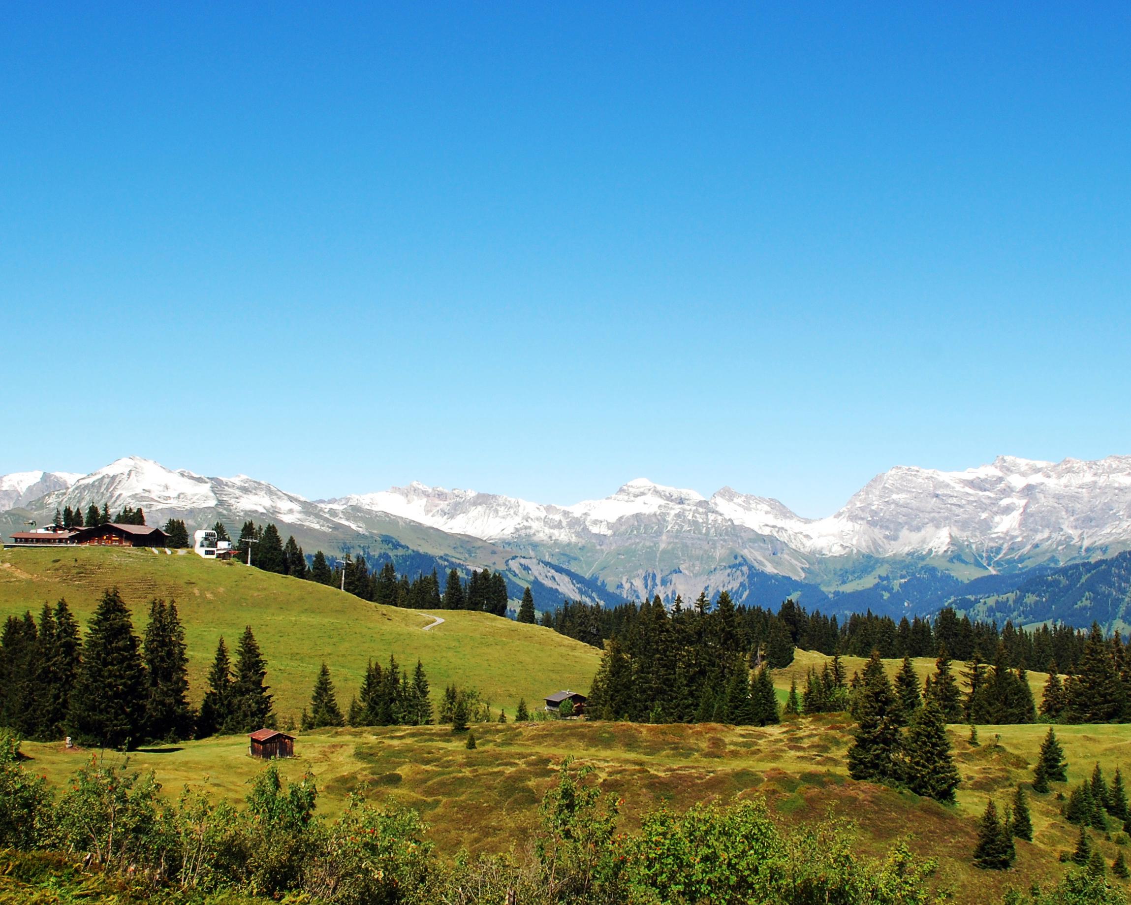
Mountain bike in Furna
Pendlatrail
Local route No. 279, Stage 9: Furna – Grüsch
Description
Local route
No. 279
Length
10 km
Ascent • Descent
↑ 260 m • ↓ 1000 m
Lowest point • Highest point
606 m • 1596 m
Grade
difficult
Fitness level
easy
The Pendla Trail is trail biking at its very best. It zigzags its way down into the valley from the Furnerberg to Grüsch, across both flatter and seriously steep sections. It's a demanding single-trail downhill run for experienced bikers.
Booking Information
E-mail:
info@praettigau.info
Comments on this information?
We welcome your feedback!
Presented by
Route
Height profile
Weather:
More...
Prättigau Marketing
Feldweg 19, 7233 Jenaz
Prättigau Marketing
Feldweg 19, 7233 Jenaz
081 325 11 11
Comments about this activity or place?
Incorrect information
Missing information
Another topic
Thank you for your feedback!
Close