search.ch

ViaSuworow

Regional route No. 55, Andermatt–Wassen
  • Image 1

Description

Regional route
No. 55 (Andermatt–Wassen)
Length
10 km
Ascent • Descent
↑ 160 m • ↓ 680 m
Lowest point • Highest point
906 m • 1440 m
Hiking time
2 h 45 min
Grade
easy (hiking trail)
Fitness level
medium
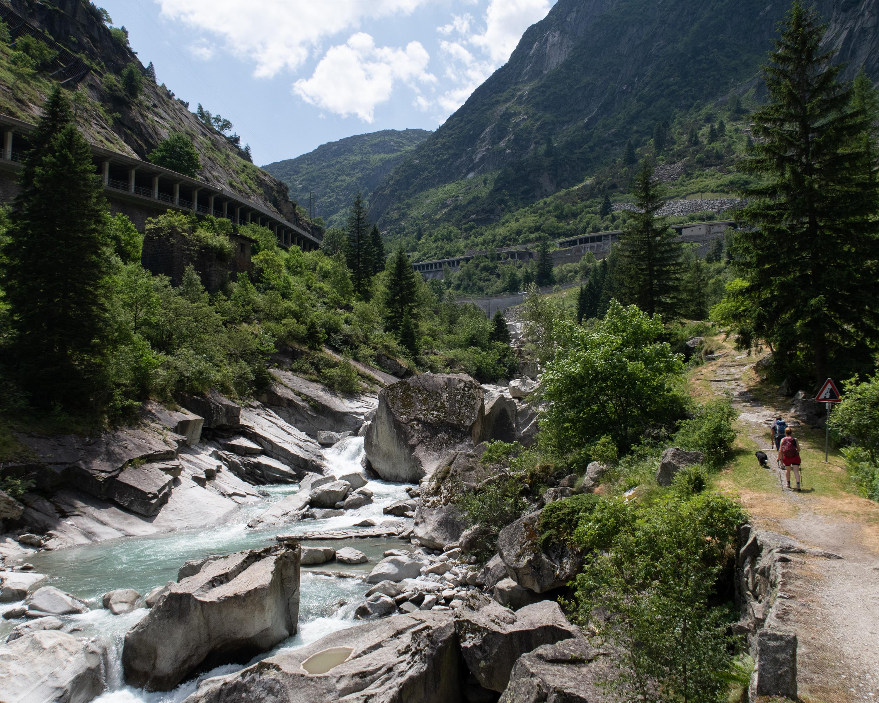
Taking the route through the Schöllenenschlucht gorge today is much easier than in Suvorov's time. He and his soldiers had to force the French troops back down the valley. However, he was given a memorial at the Teufelsbrücke (Devil's Bridge) for his pains.

Height profile

Weather:

Comments about this activity or place?

Thank you for your feedback!