search.ch

Chemin de Mont-Soleil

Local route No. 422, Sonvilier–Saint-Imier
  • Image 1

Description

Local route
No. 422 (Sonvilier–Saint-Imier)
Length
13 km
Ascent • Descent
↑ 580 m • ↓ 620 m
Lowest point • Highest point
792 m • 1290 m
Hiking time
4 h
Grade
easy (hiking trail)
Fitness level
medium
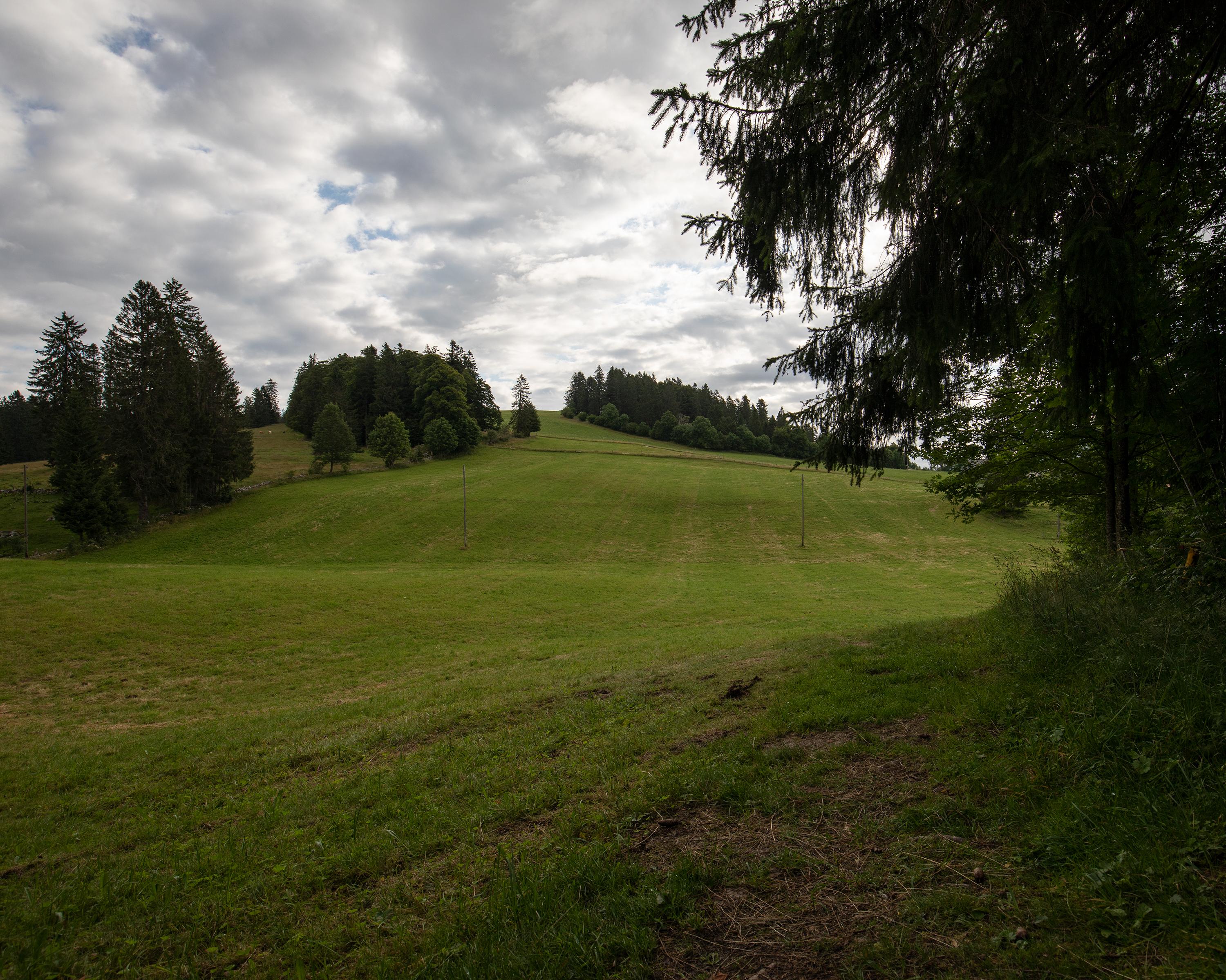
This hike combines nature and innovation. On the heights of Mont-Soleil, above the valley of Saint-Imier and at the gateway to the Franches Montagnes, it offers magnificent views of the typical wooded pastures. The trail follows a part of the Sentier des Monts dedicated to renewable energies.

Booking Information

Height profile

Weather:

Jura bernois Tourisme

Comments about this activity or place?

Thank you for your feedback!