DE
FR
IT
EN
Directory
Weather
Map / Route
Timetable
Leisure
TV guide
Cinema
Web search
Apps
More
Personal Data »
Login:
Register
Password forgotten
or
Log in with local.ch
Log in with Apple
Log in with Facebook
Log in with Google
Log in with LinkedIn
Please note that our new
privacy statement
as well as the revised
terms and conditions of use
apply.
Leisure
Hike in Entlebuch - Sörenberg
Emmenuferweg
Regional route No. 83, Wolhusen–Emmenbrücke
Description
Regional route
No. 83 (Wolhusen–Emmenbrücke)
Length
20 km
Ascent • Descent
↑ 190 m • ↓ 320 m
Lowest point • Highest point
434 m • 600 m
Hiking time
4 h 45 min
Grade
easy (hiking trail)
Fitness level
medium
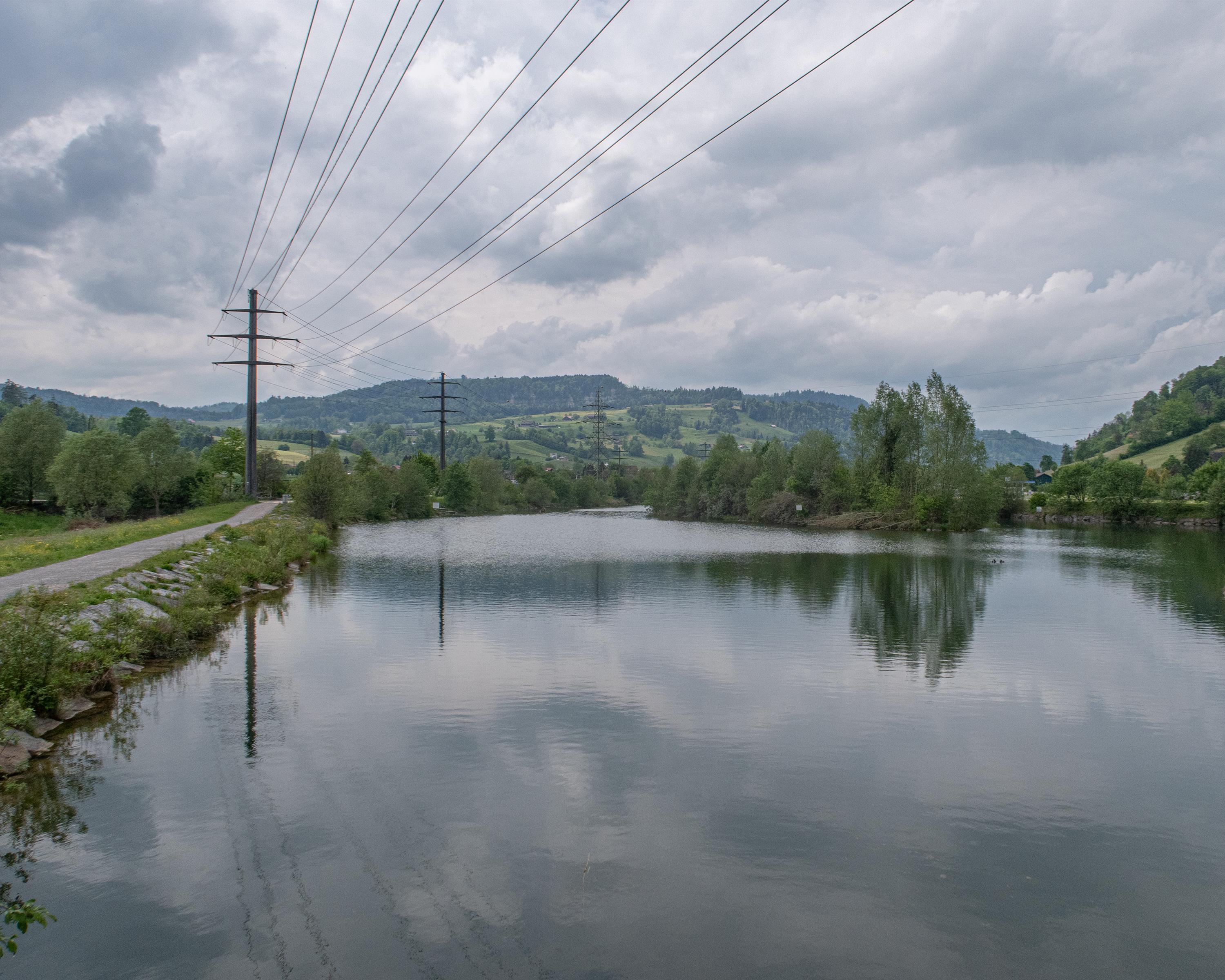
At the start of this section you see the monastery towering over the town of Werthenstein. From there, the path is level for the most part and follows the shady shore of the Kleine Emme, as it slowly approaches the outskirts of Greater Lucerne.
Comments on this information?
We welcome your feedback!
Presented by
Route
Height profile
Weather:
More...
Comments about this activity or place?
Incorrect information
Missing information
Another topic
Thank you for your feedback!
Close