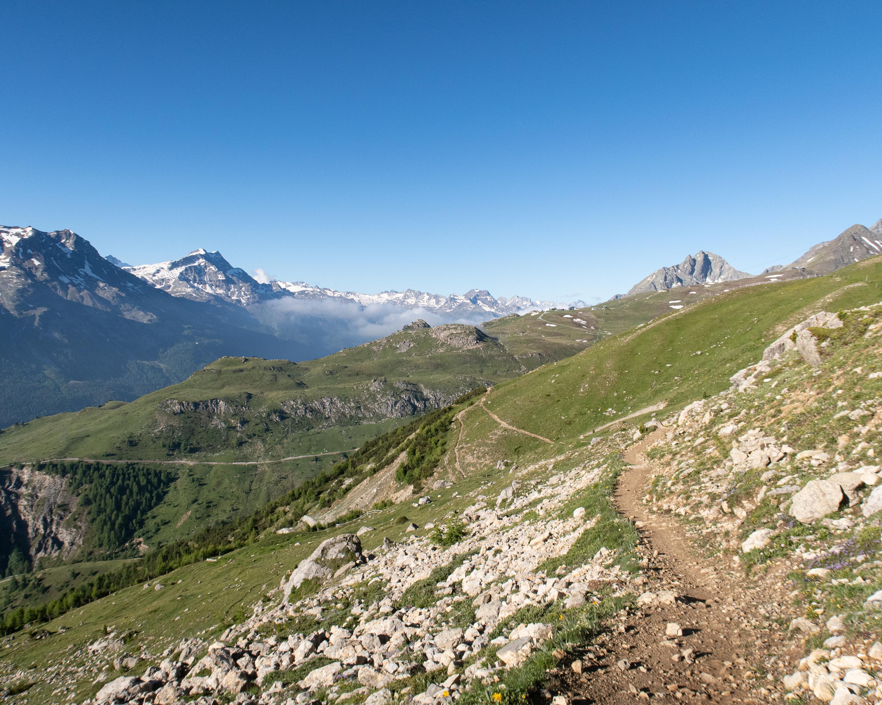
search.ch

Padella-Corviglia-Panoramatour

Local route No. 672, Celerina–Celerina
  • Image 1

Description

Local route
No. 672 (Celerina–Celerina)
Length
41 km
Ascent • Descent
↑ 1700 m • ↓ 1700 m
Lowest point • Highest point
1705 m • 2502 m
Grade
difficult
Fitness level
difficult
Big circular tour in the Upper Engadine leading to the finest vantage points and through idyllic woods with Lej Zuppo and Lej da Statz bathing lakes. There are several joining and exit points which means this tour can easily be split into stages.

Booking Information

Height profile

Weather:

Comments about this activity or place?

Thank you for your feedback!