search.ch

Via Engiadina

Regional route No. 87, Celerina, Marguns–Bever
  • Image 1

Description

Regional route
No. 87 (Celerina, Marguns–Bever)
Length
10 km
Ascent • Descent
↑ 280 m • ↓ 840 m
Lowest point • Highest point
1708 m • 2489 m
Hiking time
3 h
Grade
medium (mountain hiking trail)
Fitness level
medium
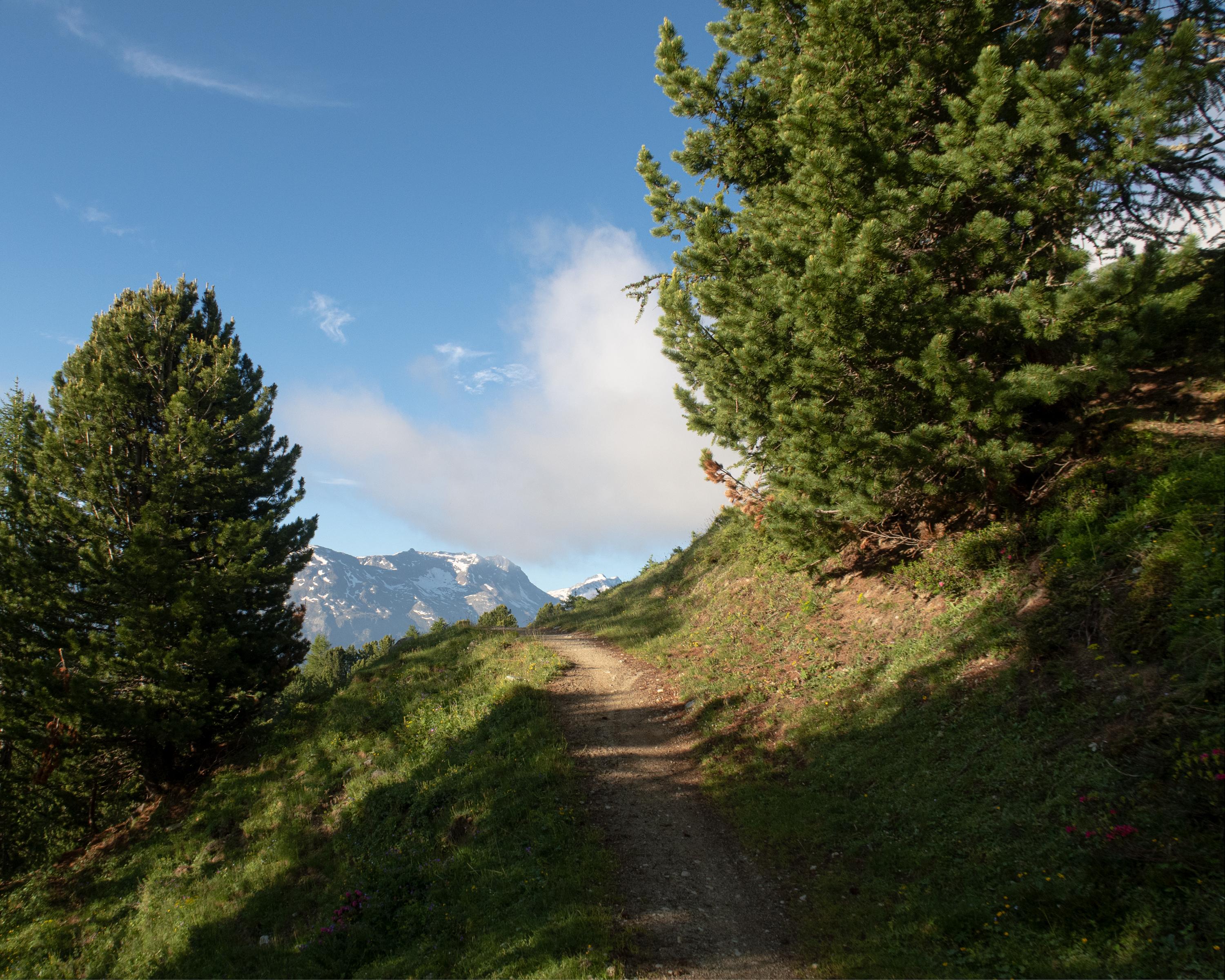
From the Corviglia, St. Moritz’s local mountain, a narrow path leads along the steep hillside across alpine pastures high above the tree line. The view of the valley floor and the mountain peaks above Pontresina is breathtaking. The hike ends in the attractive village of Bever.

Height profile

Weather:

Comments about this activity or place?

Thank you for your feedback!