search.ch

Zürichsee-Rundweg

Regional route No. 84, Pfäffikon SZ–Schmerikon
  • Image 1

Description

Regional route
No. 84 (Pfäffikon SZ–Schmerikon)
Length
23 km
Ascent • Descent
↑ 400 m • ↓ 400 m
Lowest point • Highest point
407 m • 612 m
Hiking time
5 h 50 min
Grade
easy (hiking trail)
Fitness level
difficult
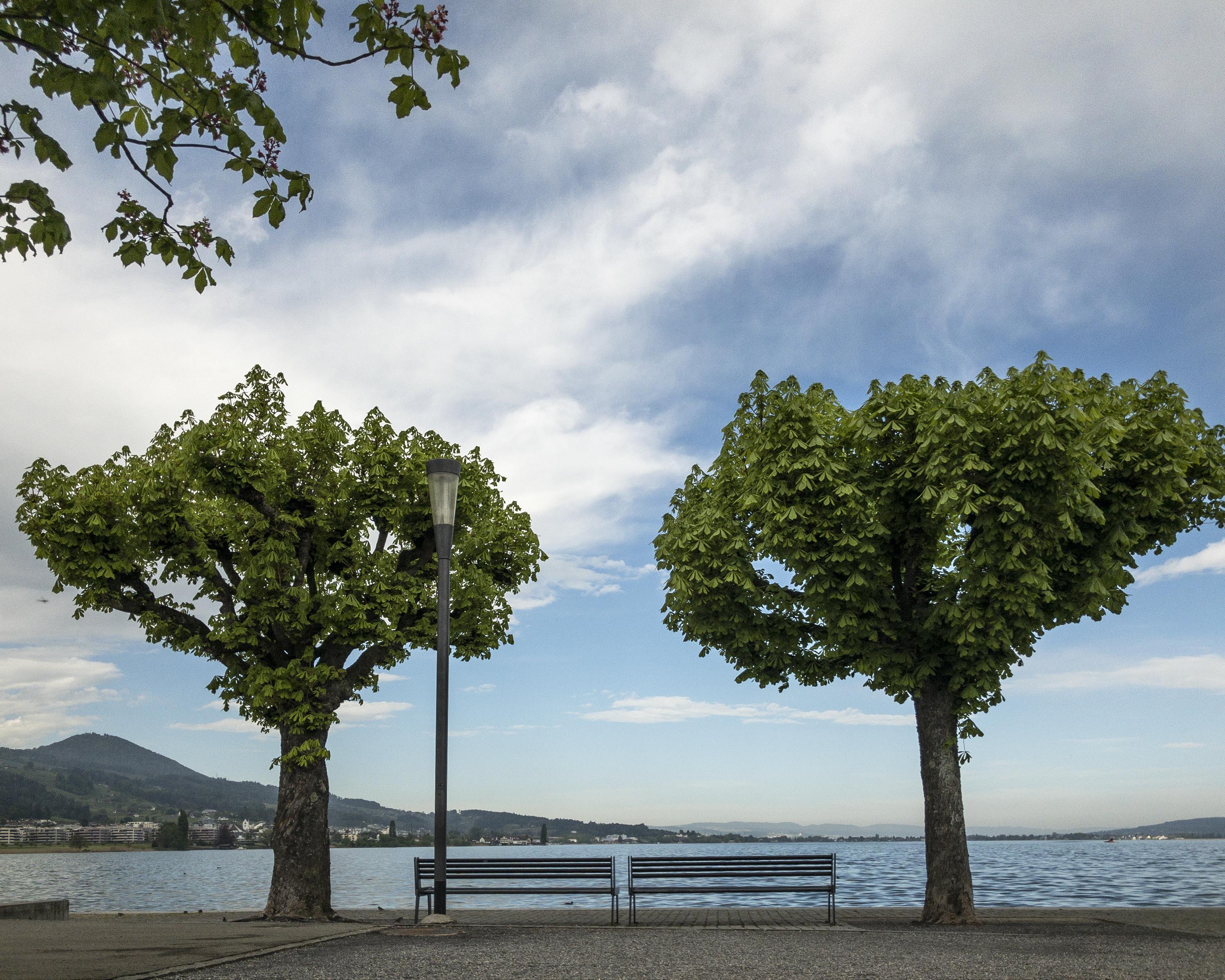
Starting out flat, this route hugs the lake and crosses the Allmend, where there are often ducks and swans searching for food. Once past the airfield, you’ll see vines, a golf course and then a section of forest. Over the brow of the hill, you arrive at the Linth Canal and a restaurant in a former manor house before finally reaching Schmerikon at the end of the stage.

Height profile

Weather:

Comments about this activity or place?

Thank you for your feedback!