search.ch

Züri Oberland-Höhenweg

Regional route No. 69, Chrüzegg–Rapperswil
  • Image 1

Description

Regional route
No. 69 (Chrüzegg–Rapperswil)
Length
25 km
Ascent • Descent
↑ 520 m • ↓ 1400 m
Lowest point • Highest point
408 m • 1328 m
Hiking time
6 h 50 min
Grade
easy (hiking trail)
Fitness level
difficult
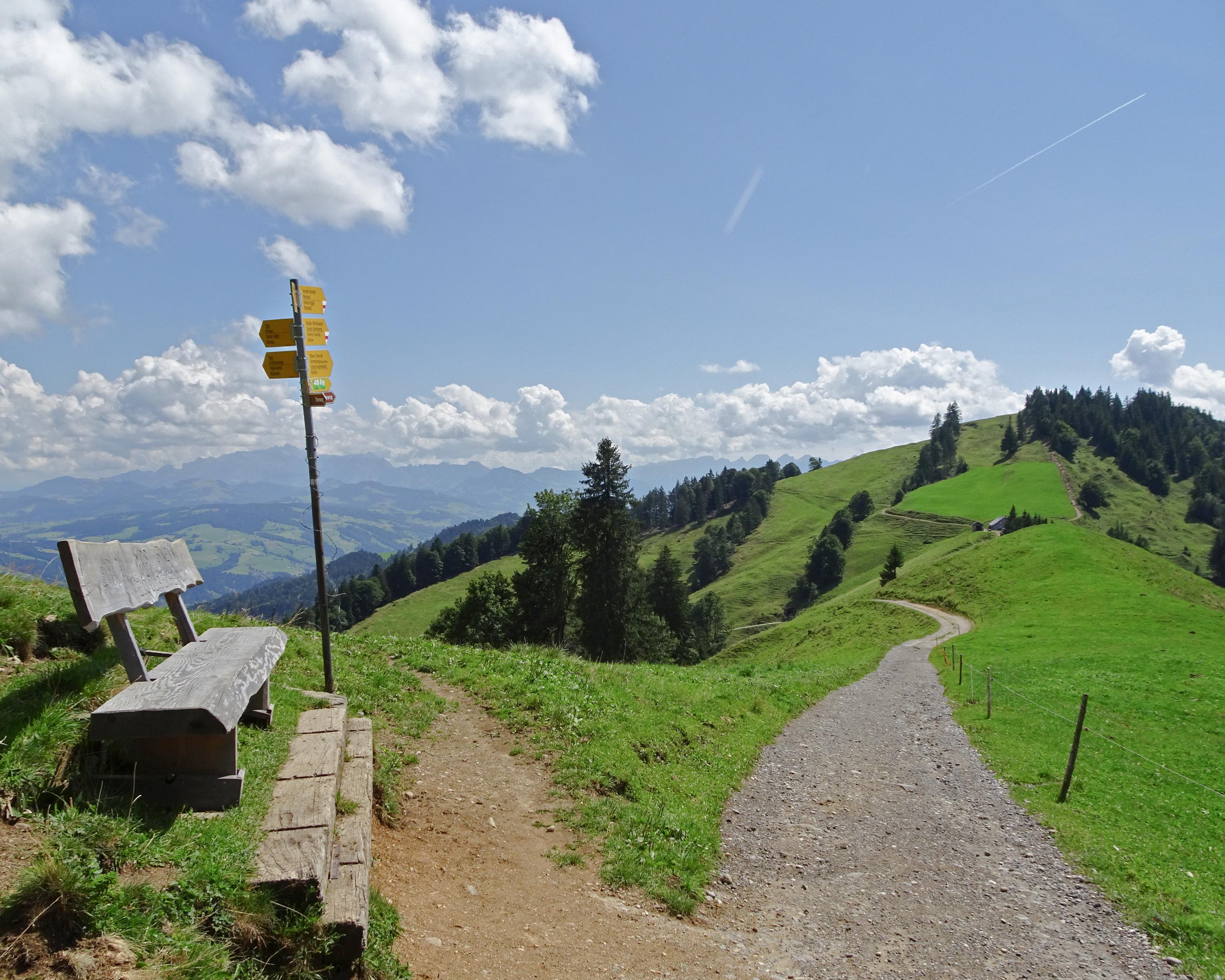
The hike's first part runs on the hillcrest and the border with Toggenburg. The panoramic views in any direction over the Zurich Oberland and the Alpine chain are fantastic. Parallel to the Jakobsweg, the trail continues to Rapperswil with its striking castle on Lake Zurich.

Height profile

Weather:

Comments about this activity or place?

Thank you for your feedback!