DE
FR
IT
EN
Directory
Weather
Map / Route
Timetable
Leisure
TV guide
Cinema
Web search
Apps
More
Personal Data »
Login:
Register
Password forgotten
or
Log in with local.ch
Log in with Apple
Log in with Facebook
Log in with Google
Log in with LinkedIn
Please note that our new
privacy statement
as well as the revised
terms and conditions of use
apply.
Leisure
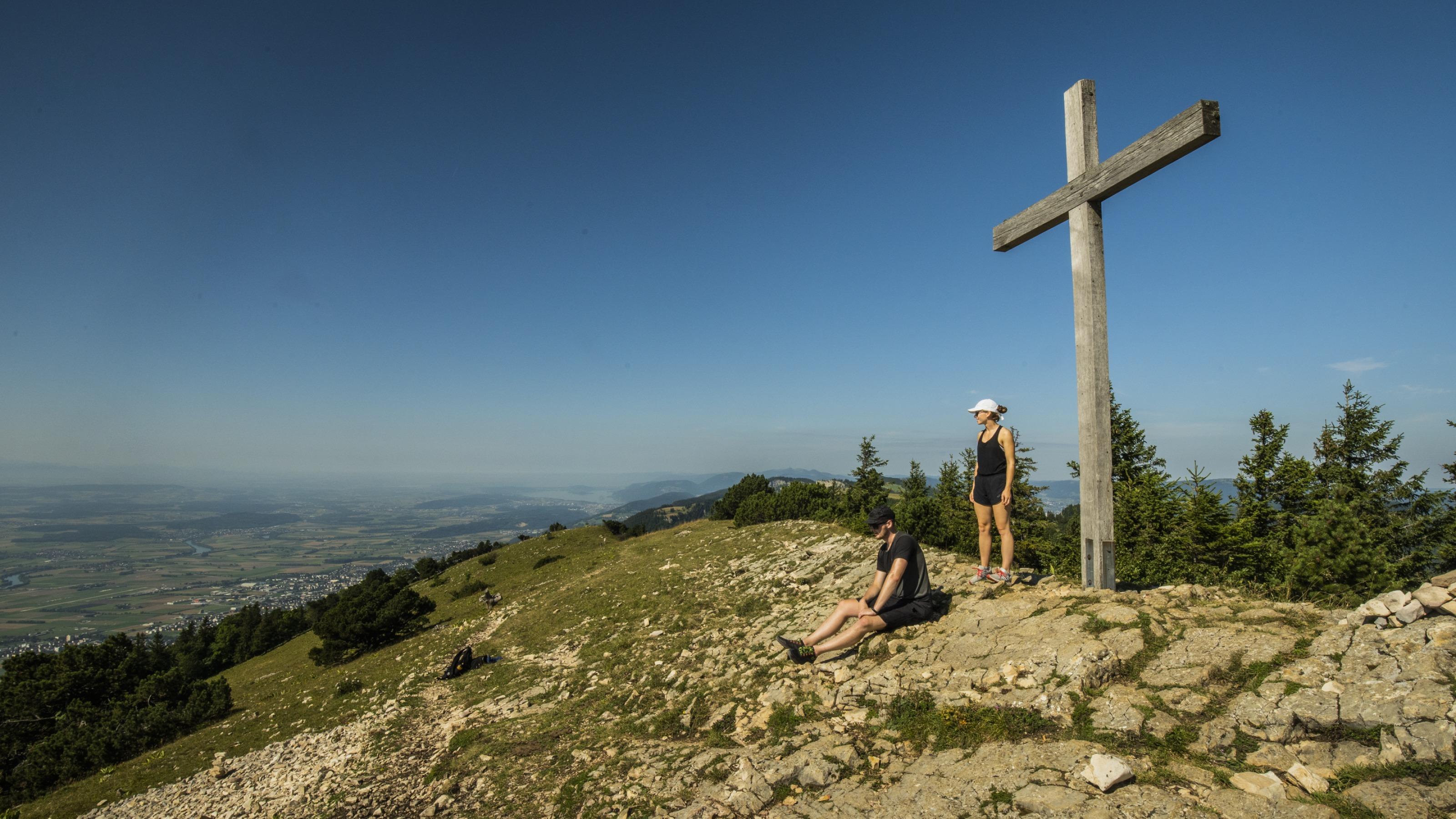
Hike in Grenchen
Jura Crest Trail
National route No. 5, Weissenstein–Frinvillier
Description
National route
No. 5 (Weissenstein–Frinvillier)
Length
24 km
Ascent • Descent
↑ 720 m • ↓ 1450 m
Lowest point • Highest point
532 m • 1443 m
Hiking time
7 h
Grade
easy (hiking trail)
Fitness level
difficult
From the roof of Canton Solothurn, with views across the Jura arc to the Mittelland and snow-capped Alps and on through forests and typical Jura meadows. The first third is also a Planetenweg (planet path). Language border at Montagne de Romont.
Comments on this information?
We welcome your feedback!
Presented by
Route
Height profile
Weather:
More...
Comments about this activity or place?
Incorrect information
Missing information
Another topic
Thank you for your feedback!
Close