search.ch

Gommer Höhenweg

Local route No. 184, Oberwald–Münster
  • Image 1

Description

Local route
No. 184 (Oberwald–Münster)
Length
12 km
Ascent • Descent
↑ 660 m • ↓ 680 m
Lowest point • Highest point
1359 m • 1730 m
Hiking time
4 h
Grade
medium (mountain hiking trail)
Fitness level
medium
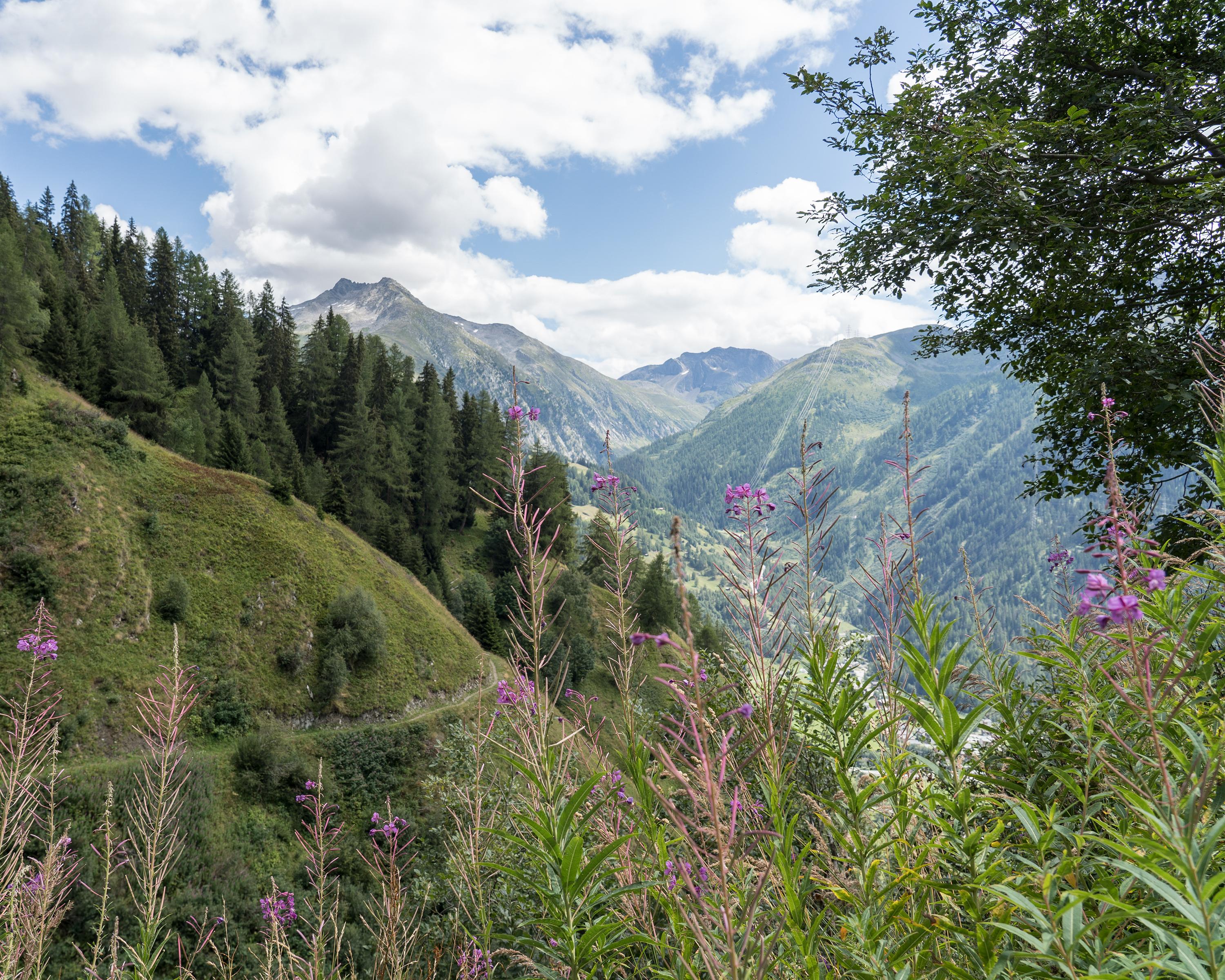
This hiking path on the sunny side of the upper Rhone Valley offers fantastic views of the snow-capped peaks of the 4000 m mountains in the Valais. The trails meander through the fascinating landscape of the Obergoms with flower-covered meadows and fragrant larch forests.

Booking Information

Height profile

Weather:

Obergoms Tourismus AG

Comments about this activity or place?

Thank you for your feedback!