search.ch

Via Engiadina

Regional route No. 87, Ardez–Ftan, Prui
  • Image 1

Description

Regional route
No. 87 (Ardez–Ftan, Prui)
Length
14 km
Ascent • Descent
↑ 1050 m • ↓ 400 m
Lowest point • Highest point
1434 m • 2239 m
Hiking time
4 h 40 min
Grade
medium (mountain hiking trail)
Fitness level
difficult
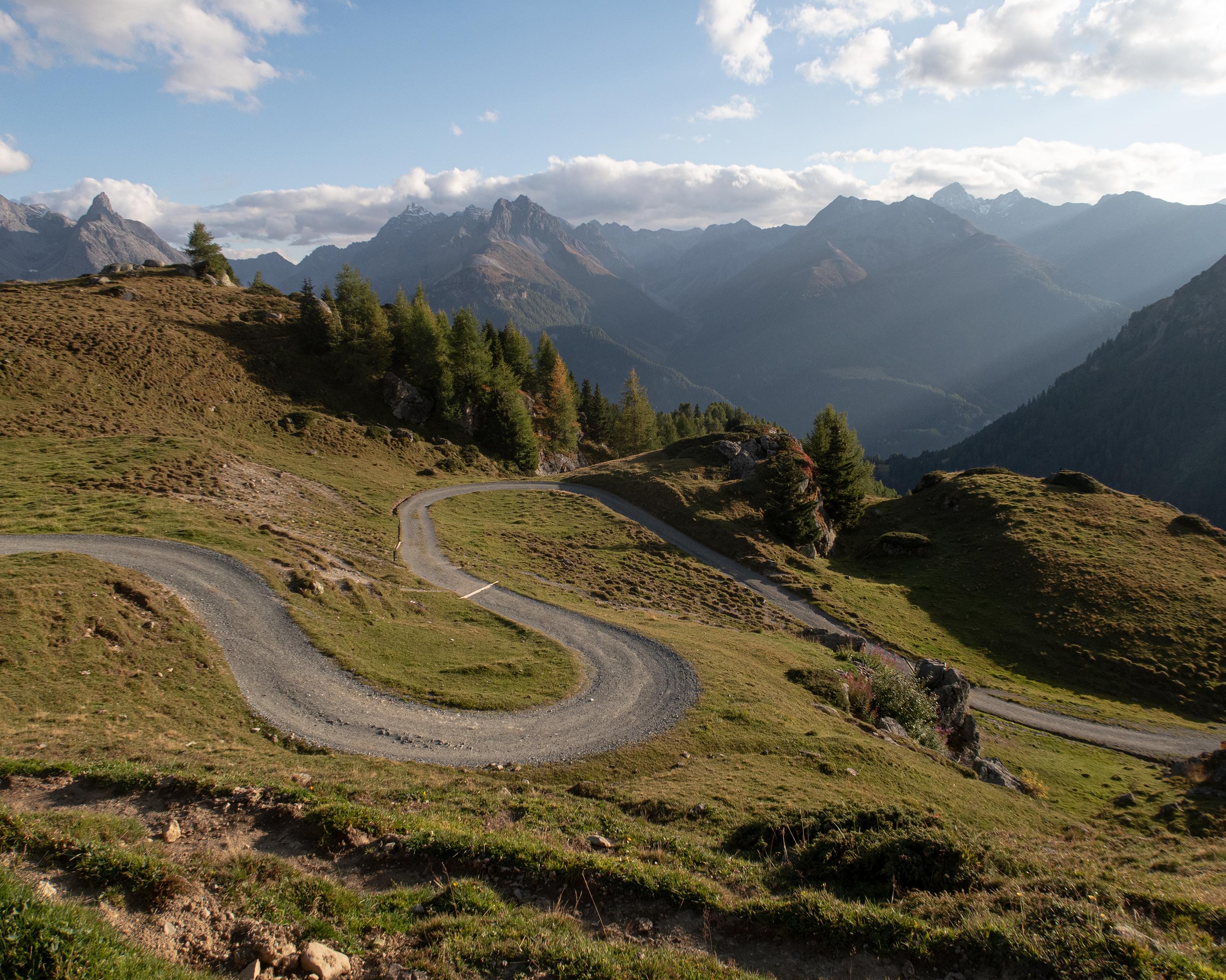
The route starts in the cobbled streets of Ardez between attractively decorated Engadine houses. You then go uphill into Val Tasna and up to Alp Laret at an altitude of 2,205 metres. Rare alpine flowers thrive on steep rocky hillsides, and the view extends far across the Lower Engadine with its huge mountain ranges.

Height profile

Weather:

Comments about this activity or place?

Thank you for your feedback!