DE
FR
IT
EN
Directory
Weather
Map / Route
Timetable
Leisure
TV guide
Cinema
Web search
Apps
More
Personal Data »
Login:
Register
Password forgotten
or
Log in with local.ch
Log in with Apple
Log in with Facebook
Log in with Google
Log in with LinkedIn
Please note that our new
privacy statement
as well as the revised
terms and conditions of use
apply.
Leisure
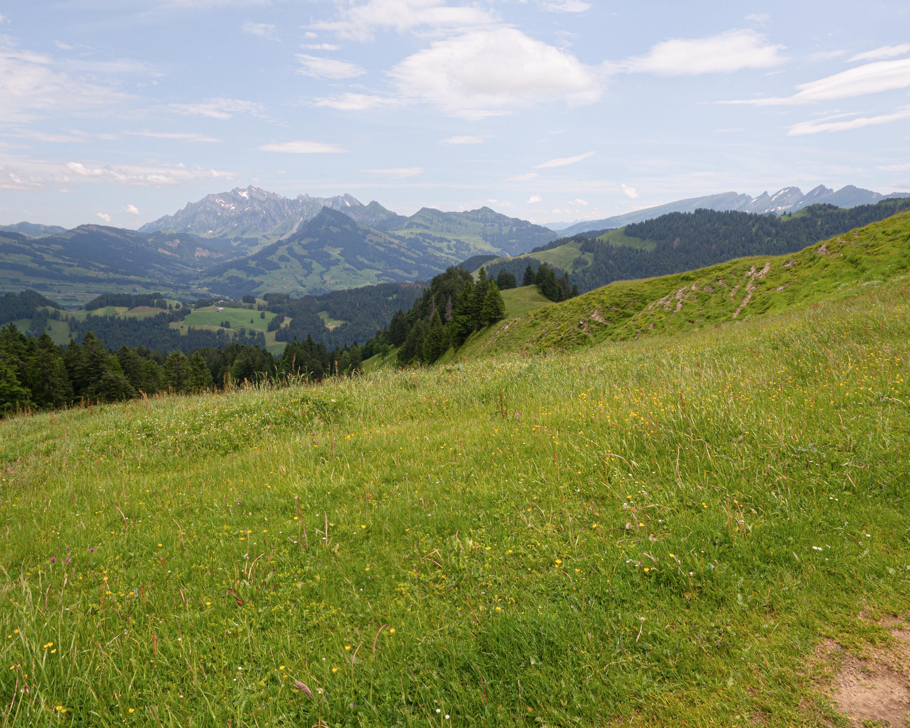
Hike in Ricken
Toggenburger Höhenweg
Regional route No. 48, Tanzboden–Chrüzegg
Description
Regional route
No. 48 (Tanzboden–Chrüzegg)
Length
16 km
Ascent • Descent
↑ 900 m • ↓ 1050 m
Lowest point • Highest point
780 m • 1430 m
Hiking time
5 h 30 min
Grade
easy (mountain hiking trail)
Fitness level
difficult
The surroundings change from mountains to the hilly terrain of mittleren Toggenburg. Passing the Regelstein vantage point and the pass village of Ricken, it leads to Atzmännig and on to the stage destination of Chrüzegg.
Comments on this information?
We welcome your feedback!
Presented by
Route
Height profile
Weather:
More...
Comments about this activity or place?
Incorrect information
Missing information
Another topic
Thank you for your feedback!
Close