search.ch

Sigriswiler Rothorn Panoramaweg

Local route No. 326, Schwanden, Säge–Schwanden, Säge
  • Image 1

Description

Local route
No. 326 (Schwanden, Säge–Schwanden, Säge)
Length
12 km
Ascent • Descent
↑ 1150 m • ↓ 1150 m
Lowest point • Highest point
1077 m • 2051 m
Hiking time
5 h
Grade
medium (mountain hiking trail)
Fitness level
difficult
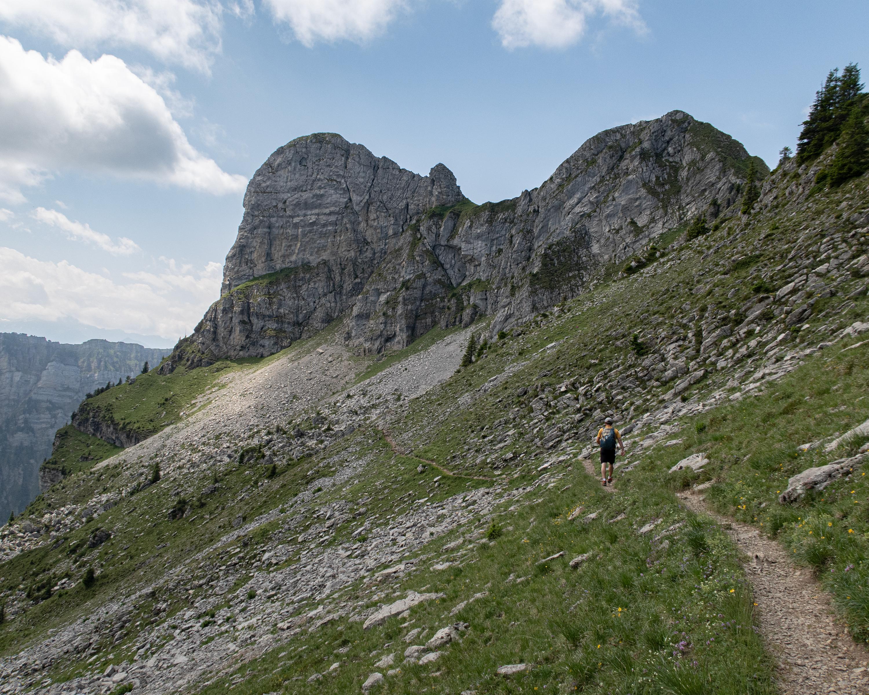
This route takes hikers through a hilly landscape of forests and alpine meadows up to the steep limestone cliffs of the Sigriswiler Rothorn mountain chain. Here the view stretches far and wide to the Jura and to the many fourthousand metre peaks of the Bernese Oberland.

Booking Information

Height profile

Weather:

Interlaken Tourismus

Comments about this activity or place?

Thank you for your feedback!