search.ch

Alpine Passes Trail

National route No. 6, Splügen–Safien Platz
  • Image 1

Description

National route
No. 6 (Splügen–Safien Platz)
Length
25 km
Ascent • Descent
↑ 1450 m • ↓ 1650 m
Lowest point • Highest point
1315 m • 2485 m
Hiking time
8 h 35 min
Grade
medium (mountain hiking trail)
Fitness level
difficult
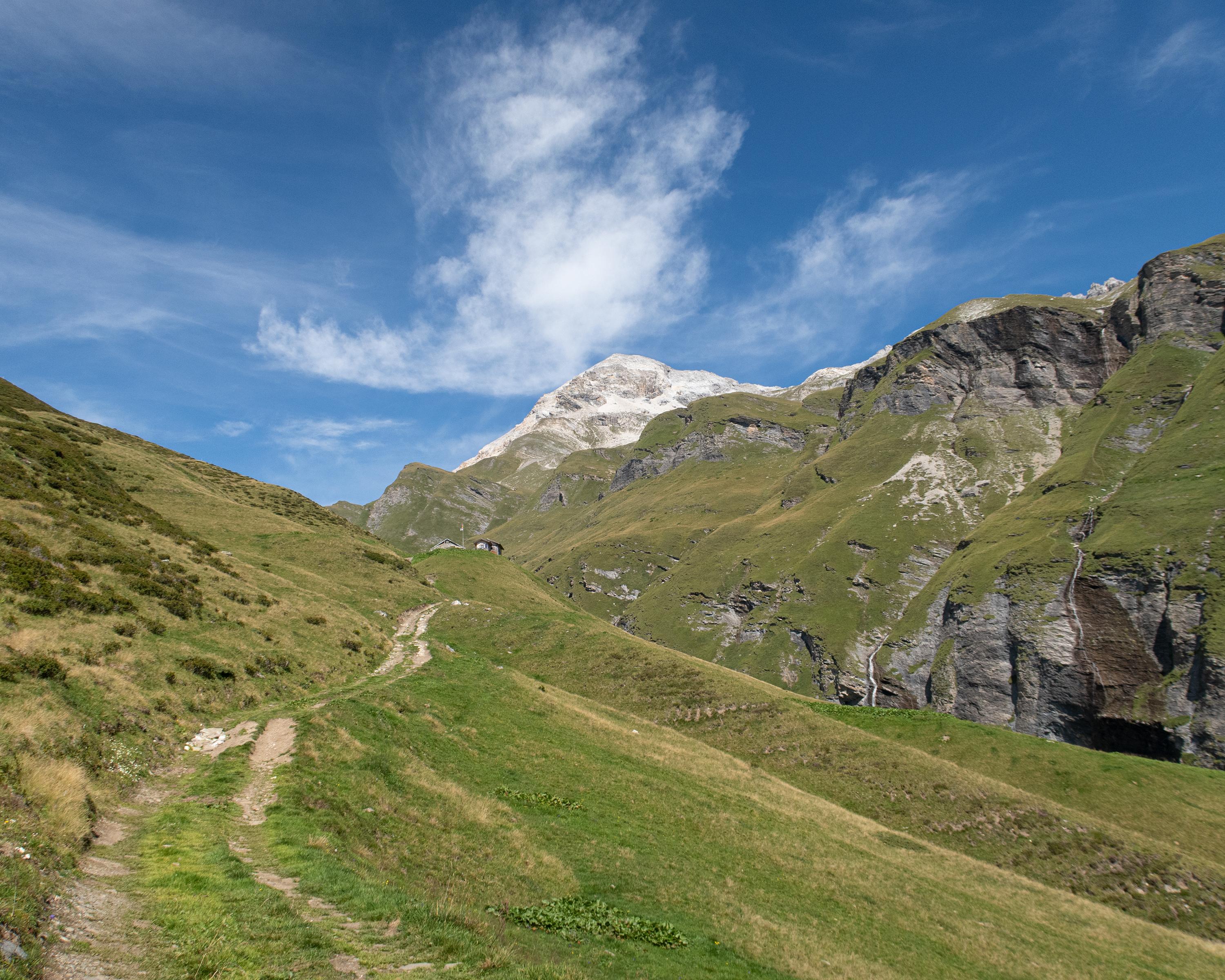
The ascent from the pass village of Splügen to Safierberg pass is not a walk in the park. The zig-zag descent to the unspoilt Safien Valley is also steep. You should keep your eyes peeled in Beverin Nature Park, home of the ibex. Also worth a look: the church at Thalkirch and the Safien Heritage Museum in Camanaboda.

Height profile

Weather:

Comments about this activity or place?

Thank you for your feedback!