search.ch

Kerenzerberg Römerweg

Local route No. 820, Näfels–Mühlehorn
  • Image 1

Description

Local route
No. 820 (Näfels–Mühlehorn)
Length
13 km
Ascent • Descent
↑ 620 m • ↓ 640 m
Lowest point • Highest point
426 m • 758 m
Hiking time
4 h
Grade
easy (hiking trail)
Fitness level
medium
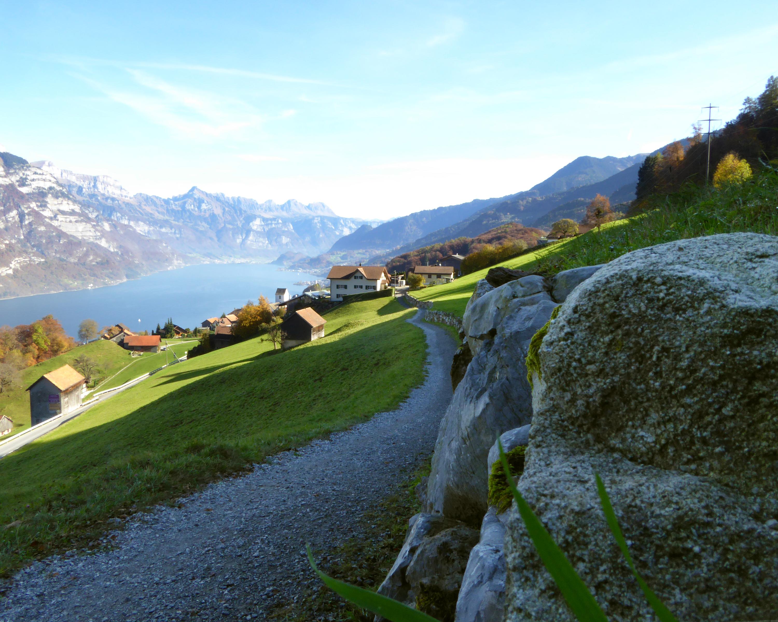
In the footsteps of the Romans, the tour leads from Näfels over Kerenzerberg to Mühlehorn. Testimony of the times let hikers' thoughts stray to worlds of a bygone age while at the same time, the Churfirsten mountain range and the deep-blue Lake Walensee are within sight.

Booking Information

Height profile

Weather:

Gemeinde Glarus Nord

Comments about this activity or place?

Thank you for your feedback!