search.ch

ViaBerna

Regional route No. 38, Saxeten–Isenfluh
  • Image 1

Description

Regional route
No. 38 (Saxeten–Isenfluh)
Length
13 km
Ascent • Descent
↑ 1100 m • ↓ 1100 m
Lowest point • Highest point
1086 m • 2046 m
Hiking time
5 h 25 min
Grade
medium (mountain hiking trail)
Fitness level
difficult
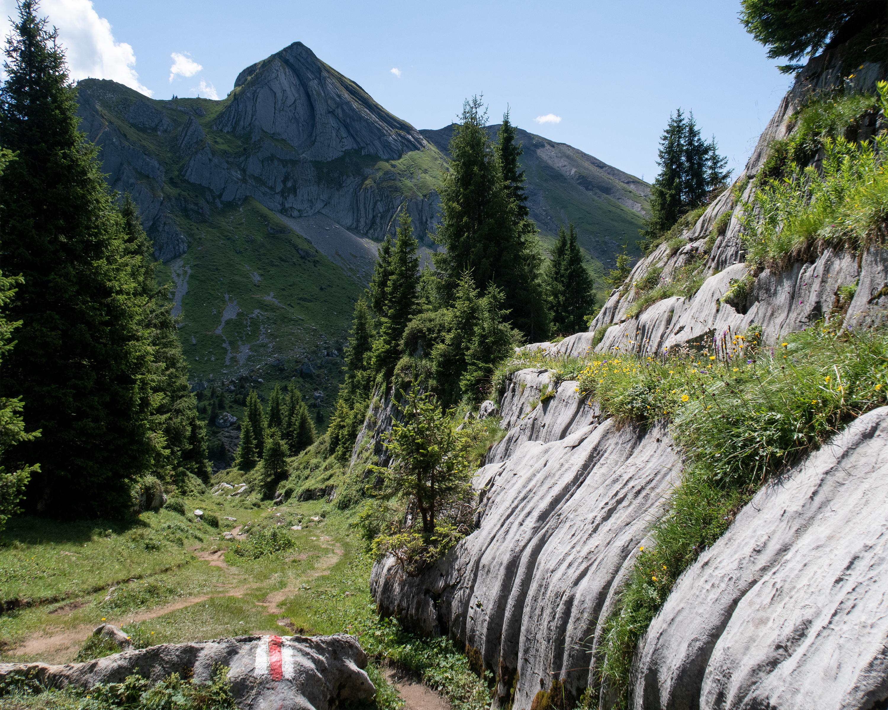
From Saxeten, you climb through the forest and later take a rocky path over two alps, up to the Tschingel mountain basin. This crosses a sloping mountain path. Past the Lobhornhüttli, steep and stony forest paths run down to Sulwald and over another steep step to Isenfluh.

Height profile

Weather:

Comments about this activity or place?

Thank you for your feedback!