DE
FR
IT
EN
Directory
Weather
Map / Route
Timetable
Leisure
TV guide
Cinema
Snow
Web search
Apps
More
Personal Data »
Login:
Register
Password forgotten
or
Log in with local.ch
Log in with Apple
Log in with Facebook
Log in with Google
Log in with LinkedIn
Please note that our new
privacy statement
as well as the revised
terms and conditions of use
apply.
Leisure
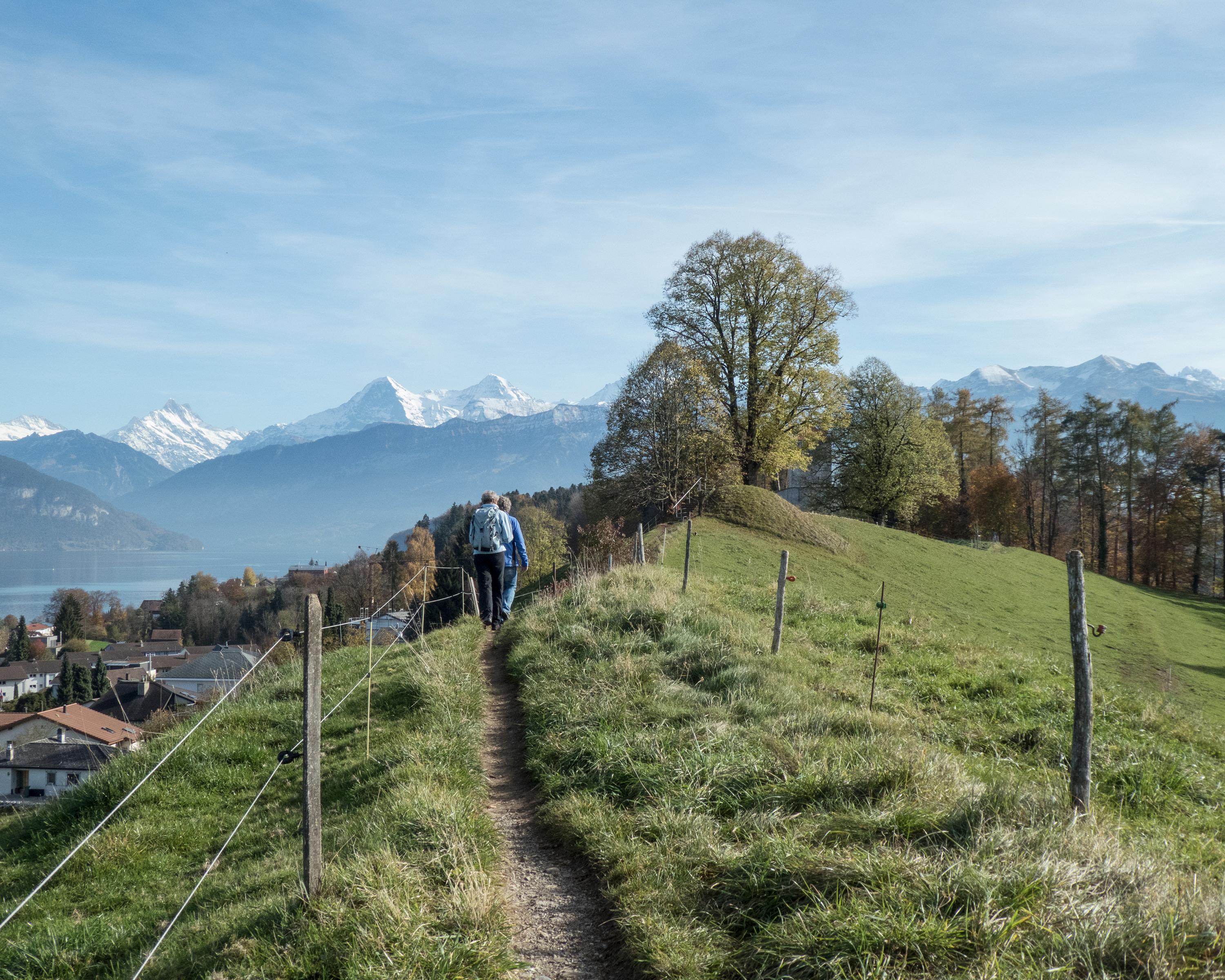
Hike in Thun
Panorama Rundweg Thunersee
Regional route No. 26, Thun – Thun
Description
Regional route
No. 26 (Thun – Thun)
Length
63 km
Ascent • Descent
↑ 2200 m • ↓ 2200 m
Lowest point • Highest point
557 m • 1067 m
Grade
easy
Fitness level
medium
Regional route No. 26: Panorama Rundweg Thunersee
Stages
0. Sigriswil – Interlaken
0. Spiez – Thun
0. Thun – Sigriswil
0. Interlaken – Spiez
The Lake Thun panorama round trail is an exciting and enjoyable, several-day hike through the Bernese Oberland with majestic lake and mountain panoramas, passing historic sites and impressive caves.
Comments on this information?
We welcome your feedback!
Presented by
Route
Height profile
Weather:
More...
Comments about this activity or place?
Incorrect information
Missing information
Another topic
Thank you for your feedback!
Close