DE
FR
IT
EN
Directory
Weather
Map / Route
Timetable
Leisure
TV guide
Cinema
Web search
Apps
More
Personal Data »
Login:
Register
Password forgotten
or
Log in with local.ch
Log in with Apple
Log in with Facebook
Log in with Google
Log in with LinkedIn
Please note that our new
privacy statement
as well as the revised
terms and conditions of use
apply.
Leisure
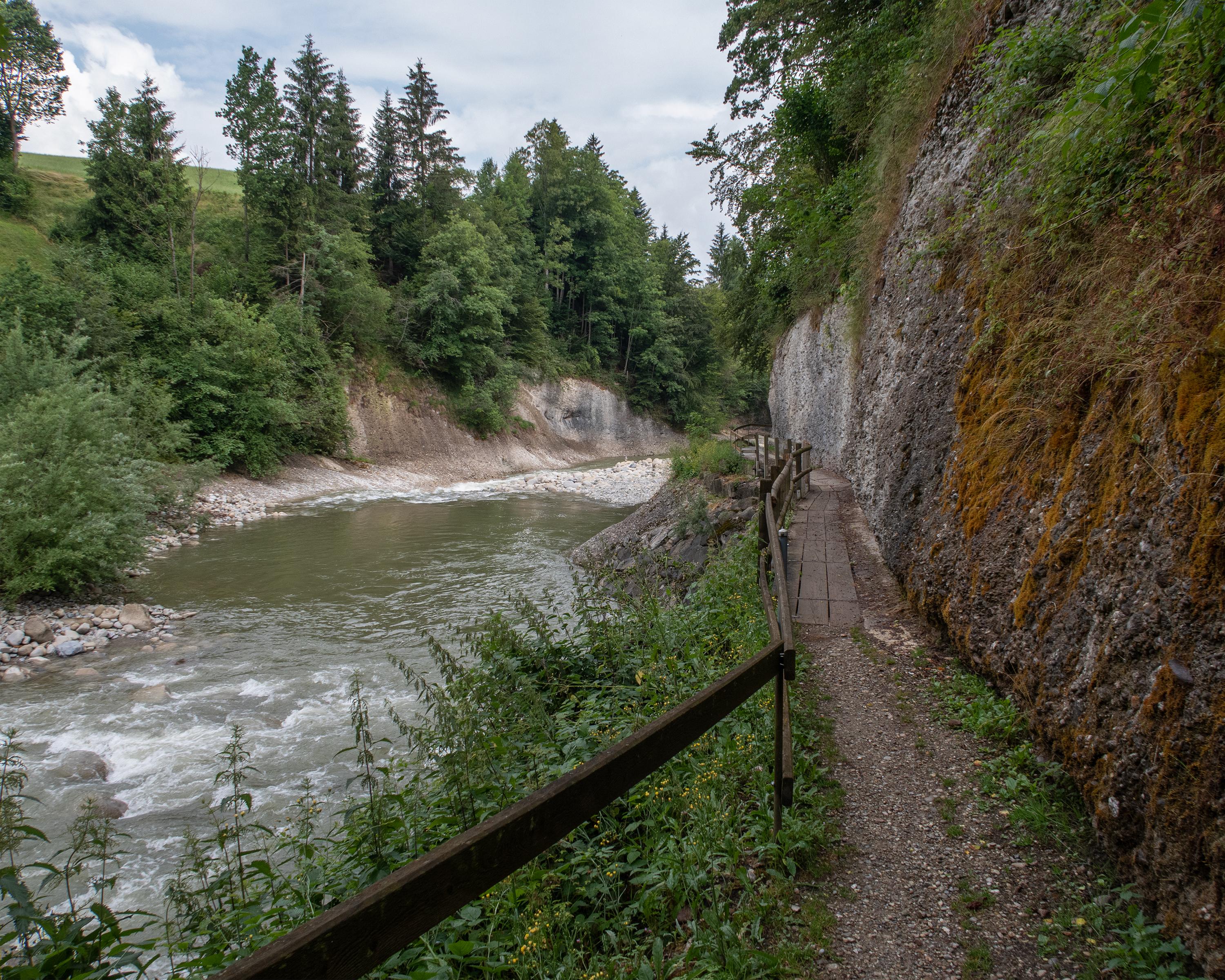
Hike in Entlebuch - Sörenberg
Emmenuferweg
Regional route No. 83, Schüpfheim–Wolhusen
Description
Regional route
No. 83 (Schüpfheim–Wolhusen)
Length
17 km
Ascent • Descent
↑ 240 m • ↓ 380 m
Lowest point • Highest point
565 m • 717 m
Hiking time
4 h 15 min
Grade
easy (hiking trail)
Fitness level
medium
The pristine river landscape between Entlebuch and Wolhusen is an insider tip among nature enthusiasts. The hiking trail leads through a protected riverside area and meets the banks of the turbulent Kleine Emme every now and then.
Comments on this information?
We welcome your feedback!
Presented by
Route
Height profile
Weather:
More...
Comments about this activity or place?
Incorrect information
Missing information
Another topic
Thank you for your feedback!
Close