DE
FR
IT
EN
Directory
Weather
Map / Route
Timetable
Leisure
TV guide
Cinema
Web search
Apps
More
Personal Data »
Login:
Register
Password forgotten
or
Log in with local.ch
Log in with Apple
Log in with Facebook
Log in with Google
Log in with LinkedIn
Please note that our new
privacy statement
as well as the revised
terms and conditions of use
apply.
Leisure
Hike in Thurgau
ViaRhenana
Regional route No. 60, Steckborn–Stein am Rhein
Description
Regional route
No. 60 (Steckborn–Stein am Rhein)
Length
16 km
Ascent • Descent
↑ 540 m • ↓ 520 m
Lowest point • Highest point
397 m • 594 m
Hiking time
4 h 20 min
Grade
easy (hiking trail)
Fitness level
medium
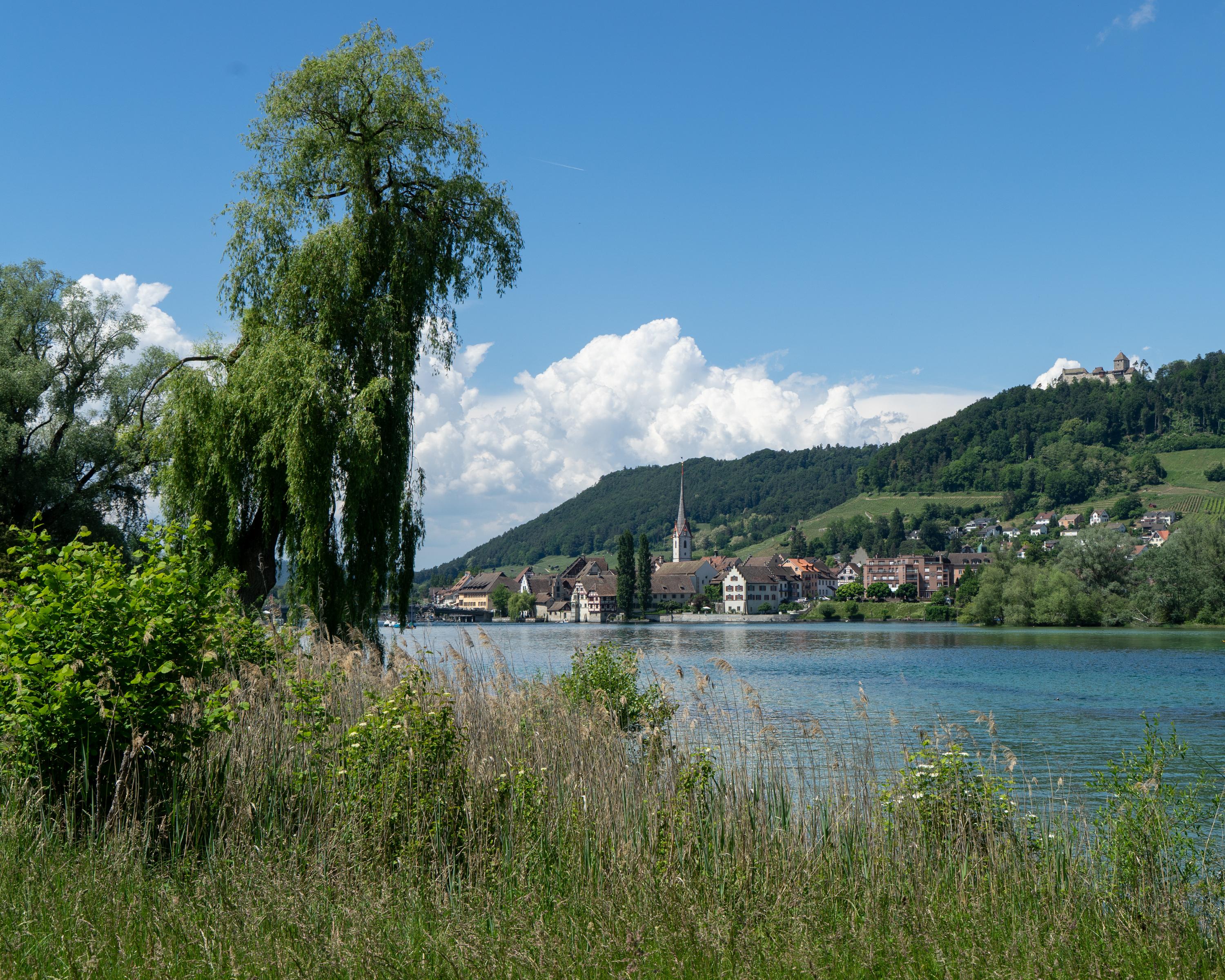
Very varied, contoured route via Neuburg, Hochwacht Mammern and the Klingszell pilgrimage church, to Stein am Rhein. En route: picturesque views of the end of the Untersee with the old town of Stein, Insel Werd and Hohenklingen Castle.
Comments on this information?
We welcome your feedback!
Presented by
Route
Height profile
Weather:
More...
Comments about this activity or place?
Incorrect information
Missing information
Another topic
Thank you for your feedback!
Close