search.ch

Alpine Panorama Route

National route No. 4, Montbovon–Aigle
  • Image 1

Description

National route
No. 4 (Montbovon–Aigle)
Length
52 km
Ascent • Descent
↑ 1050 m • ↓ 1450 m
Lowest point • Highest point
404 m • 1554 m
Fitness level
difficult
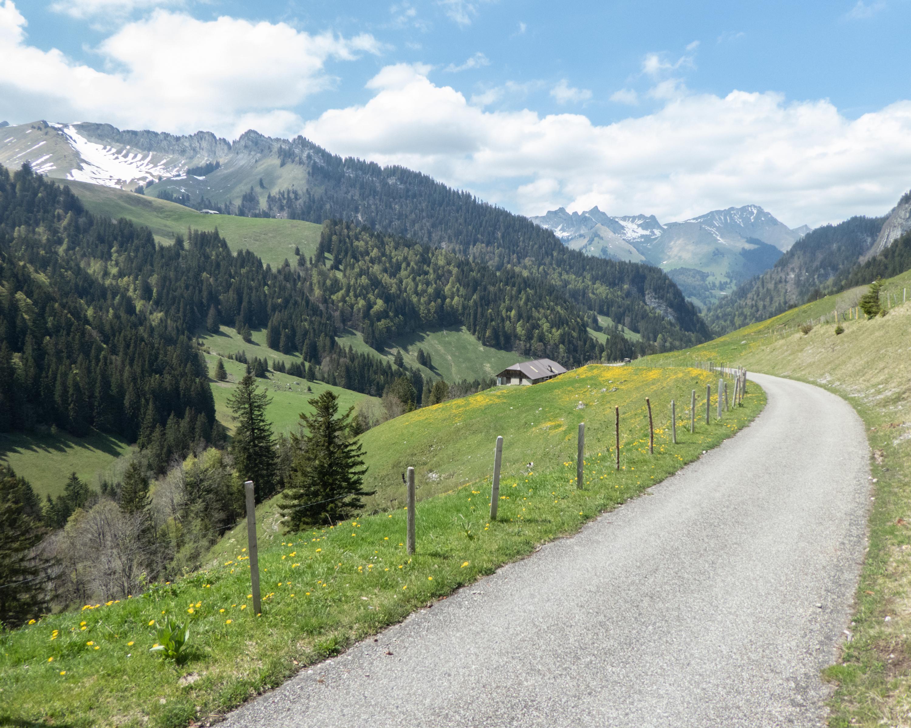
A lonely ascent through harsh alpine meadows to Lac de l’Hongrin. On some days, the roaring of artillery is rumbling through the remote area. Intoxicating and exciting is the downhill ride of 1000 m in elevation through several tunnels and into the warmth of the Rhone Valley.

Height profile

Weather:

Comments about this activity or place?

Thank you for your feedback!