search.ch

Aletsch Panoramaweg

Regional route No. 39, Märjelensee–Bellwald
  • Image 1

Description

Regional route
No. 39 (Märjelensee–Bellwald)
Length
9 km
Ascent • Descent
↑ 360 m • ↓ 1150 m
Lowest point • Highest point
1497 m • 2374 m
Hiking time
3 h 20 min
Grade
medium (mountain hiking trail)
Fitness level
difficult
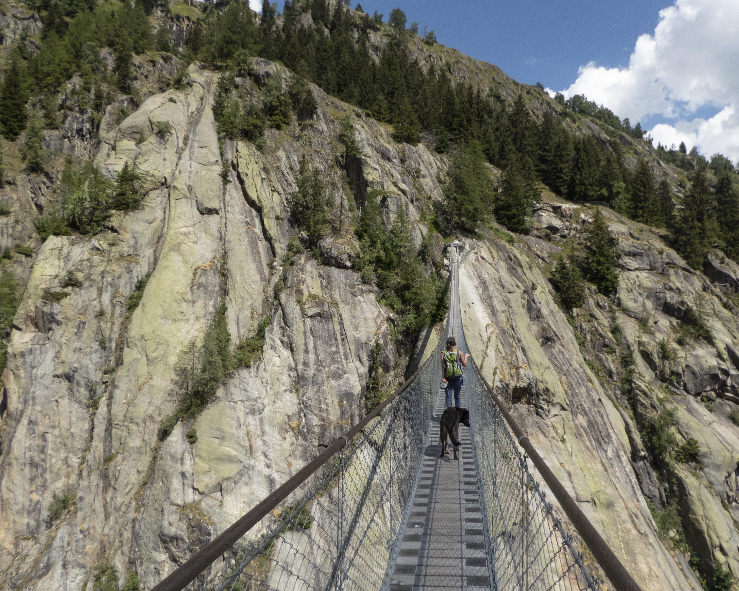
The trail follows old Alpine paths down to the Burg, a rock massif of gneiss smoothed by glaciers. Against the backdrop of the Goms mountains, the Fiescher Glacier becomes clearly visible. The 160-metre-long Aspi-Titter suspension bridge points the way to the idyllic Goms mountain village of Bellwald.

Height profile

Weather:

Comments about this activity or place?

Thank you for your feedback!