search.ch

Jakobsweg Graubünden

Regional route No. 43, S-charl–Scuol
  • Image 1

Description

Regional route
No. 43 (S-charl–Scuol)
Length
13 km
Ascent • Descent
↑ 260 m • ↓ 780 m
Lowest point • Highest point
1171 m • 1809 m
Hiking time
3 h 35 min
Grade
medium (mountain hiking trail)
Fitness level
medium
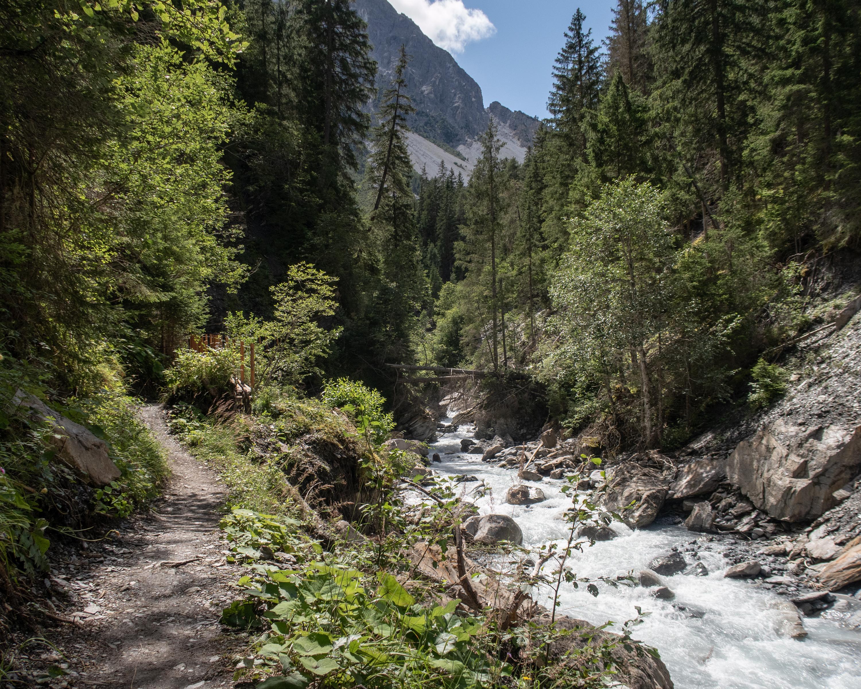
Schmelzra and its old furnace ruins follow after S-charl. Then onwards to the turn into the Val Mingèr valley, through the mixed woods along Clemgia, descent through the Clemgia ravine, and on to the Inn district of the resort Scuol. (Previously know as Bad Scuol or Schuls).

Height profile

Weather:

Comments about this activity or place?

Thank you for your feedback!