DE
FR
IT
EN
Directory
Weather
Map / Route
Timetable
Leisure
TV guide
Cinema
Snow
Web search
Apps
More
Personal Data »
Login:
Register
Password forgotten
or
Log in with local.ch
Log in with Apple
Log in with Facebook
Log in with Google
Log in with LinkedIn
Please note that our new
privacy statement
as well as the revised
terms and conditions of use
apply.
Leisure
Hike in Engadin Samnaun Val Müstair
Jakobsweg Graubünden
Regional route No. 43, Müstair – Oberalppass
Description
Regional route
No. 43 (Müstair – Oberalppass)
Length
260 km
Ascent • Descent
↑ 11100 m • ↓ 10300 m
Lowest point • Highest point
576 m • 2606 m
Grade
medium
Fitness level
medium
Regional route No. 43: Jakobsweg Graubünden
Stages
0. Tamins – Trin Digg
0. Trin Digg – Laax (Falera)
0. Brigels (Andiast) – Trun
0. Laax (Falera) – Brigels (Andiast)
0. Müstair – Lü
0. Dürrboden – Davos Dorf
0. S-chanf (Cinous-chel) – Dürrboden
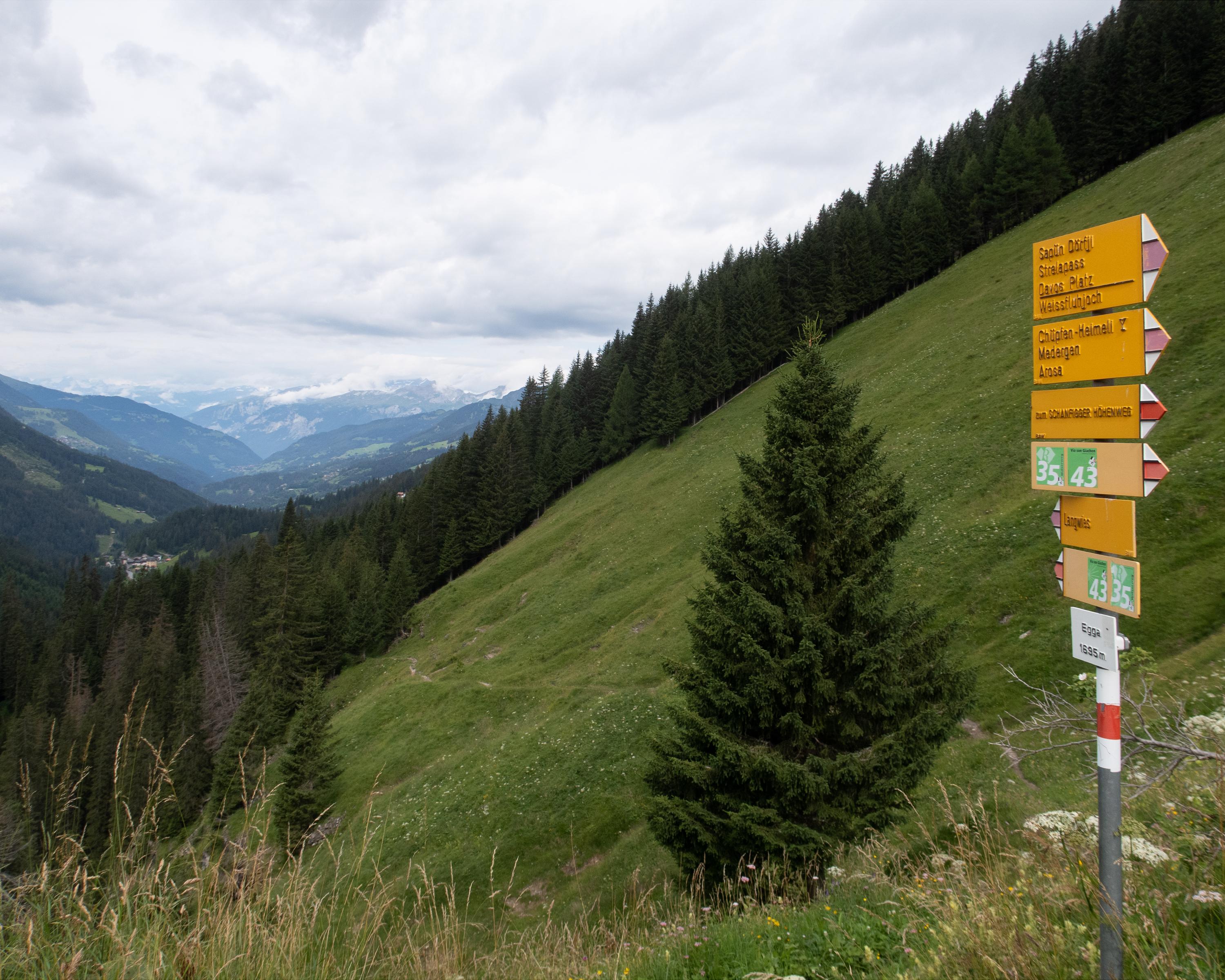
0. Langwies – Tschiertschen
0. Disentis – Sedrun
0. Sedrun – Oberalppass
0. Lü – S-charl
0. Davos Dorf – Langwies
0. Tschiertschen – Chur
0. Guarda – Zernez
0. Zernez – S-chanf (Cinous-chel)
0. S-charl – Scuol
0. Scuol – Guarda
0. Chur – Tamins
0. Trun – Disentis
Scenic pass and valley landscapes on the Jakobsweg route through multifaceted Graubünden. Cultural and historical signs of the Santiago pilgrim’s path – and stunning scenery inviting one to reflect on own values and the beauty of nature.
Comments on this information?
We welcome your feedback!
Presented by
Route
Height profile
Weather:
More...
Comments about this activity or place?
Incorrect information
Missing information
Another topic
Thank you for your feedback!
Close