DE
FR
IT
EN
Directory
Weather
Map / Route
Timetable
Leisure
TV guide
Cinema
Web search
Apps
More
Personal Data »
Login:
Register
Password forgotten
or
Log in with local.ch
Log in with Apple
Log in with Facebook
Log in with Google
Log in with LinkedIn
Please note that our new
privacy statement
as well as the revised
terms and conditions of use
apply.
Leisure
Hike in Eastern Switzerland / Liechtenstein
WALSA-Weg
Regional route No. 68, Garschlu–Flumserberg
Description
Regional route
No. 68 (Garschlu–Flumserberg)
Length
24 km
Ascent • Descent
↑ 1050 m • ↓ 1200 m
Lowest point • Highest point
812 m • 1228 m
Hiking time
7 h 15 min
Grade
easy (hiking trail)
Fitness level
difficult
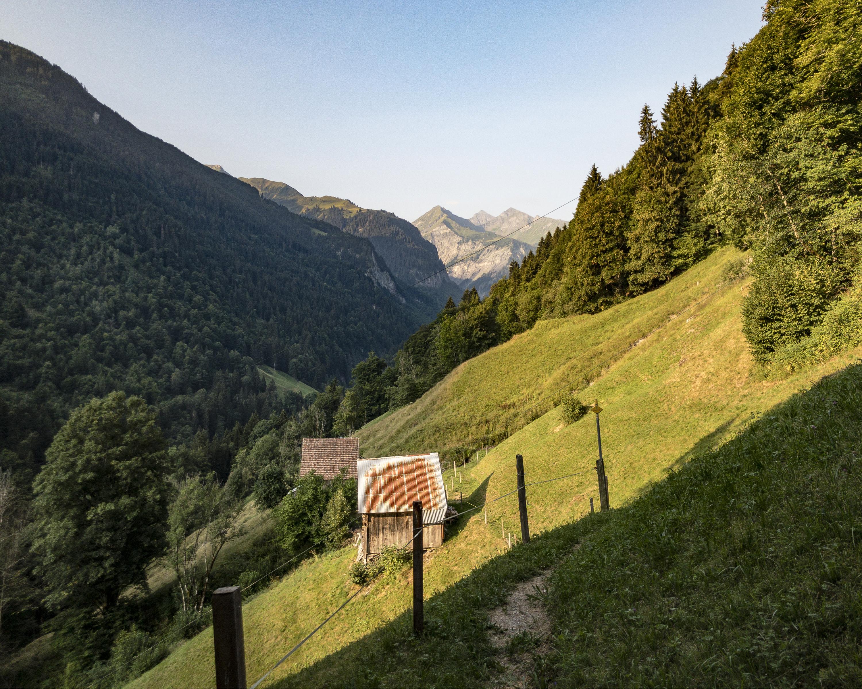
Through wild Alpine vegetation to Alp Gampidells, along steep slopes to Vermol with its chapel and on to Chapfensee lake in the midst of protected moorland. Later on, rugged, rocky Kleinberg, followed by fertile Flumserberg.
Comments on this information?
We welcome your feedback!
Presented by
Route
Height profile
Weather:
More...
Comments about this activity or place?
Incorrect information
Missing information
Another topic
Thank you for your feedback!
Close