DE
FR
IT
EN
Directory
Weather
Map / Route
Timetable
Leisure
TV guide
Cinema
Web search
Apps
More
Personal Data »
Login:
Register
Password forgotten
or
Log in with local.ch
Log in with Apple
Log in with Facebook
Log in with Google
Log in with LinkedIn
Please note that our new
privacy statement
as well as the revised
terms and conditions of use
apply.
Leisure
Hike in Haslital
ViaSbrinz
Regional route No. 40, Engstlenalp–Guttannen
Description
Regional route
No. 40 (Engstlenalp–Guttannen)
Length
23 km
Ascent • Descent
↑ 680 m • ↓ 1450 m
Lowest point • Highest point
626 m • 1835 m
Hiking time
6 h 40 min
Grade
medium (mountain hiking trail)
Fitness level
difficult
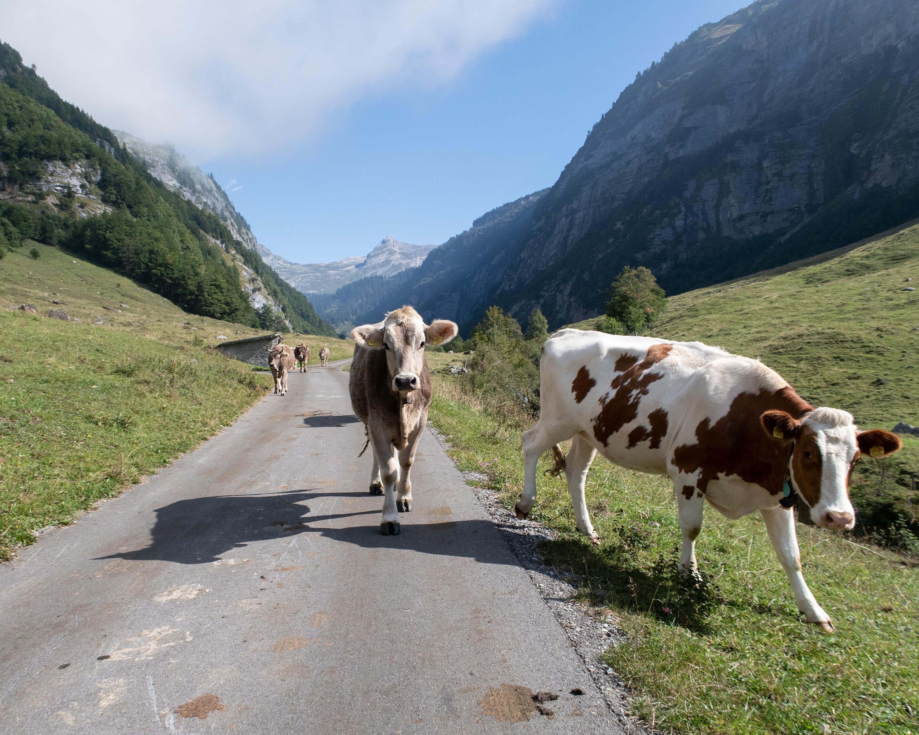
Descent from near-to-nature Gental with its historic hotel down to Haslital. Guttannen with the history-packed «Bären» is not only a former traders’ stage stop but also a key centre for mountain-crystal seekers.
Comments on this information?
We welcome your feedback!
Presented by
Route
Height profile
Weather:
More...
Comments about this activity or place?
Incorrect information
Missing information
Another topic
Thank you for your feedback!
Close