search.ch

Furner Rundweg

Local route No. 701, Furna–Furna
  • Image 1

Description

Local route
No. 701 (Furna–Furna)
Length
14 km
Ascent • Descent
↑ 700 m • ↓ 700 m
Lowest point • Highest point
1365 m • 1980 m
Hiking time
4 h 25 min
Grade
medium (mountain hiking trail)
Fitness level
medium
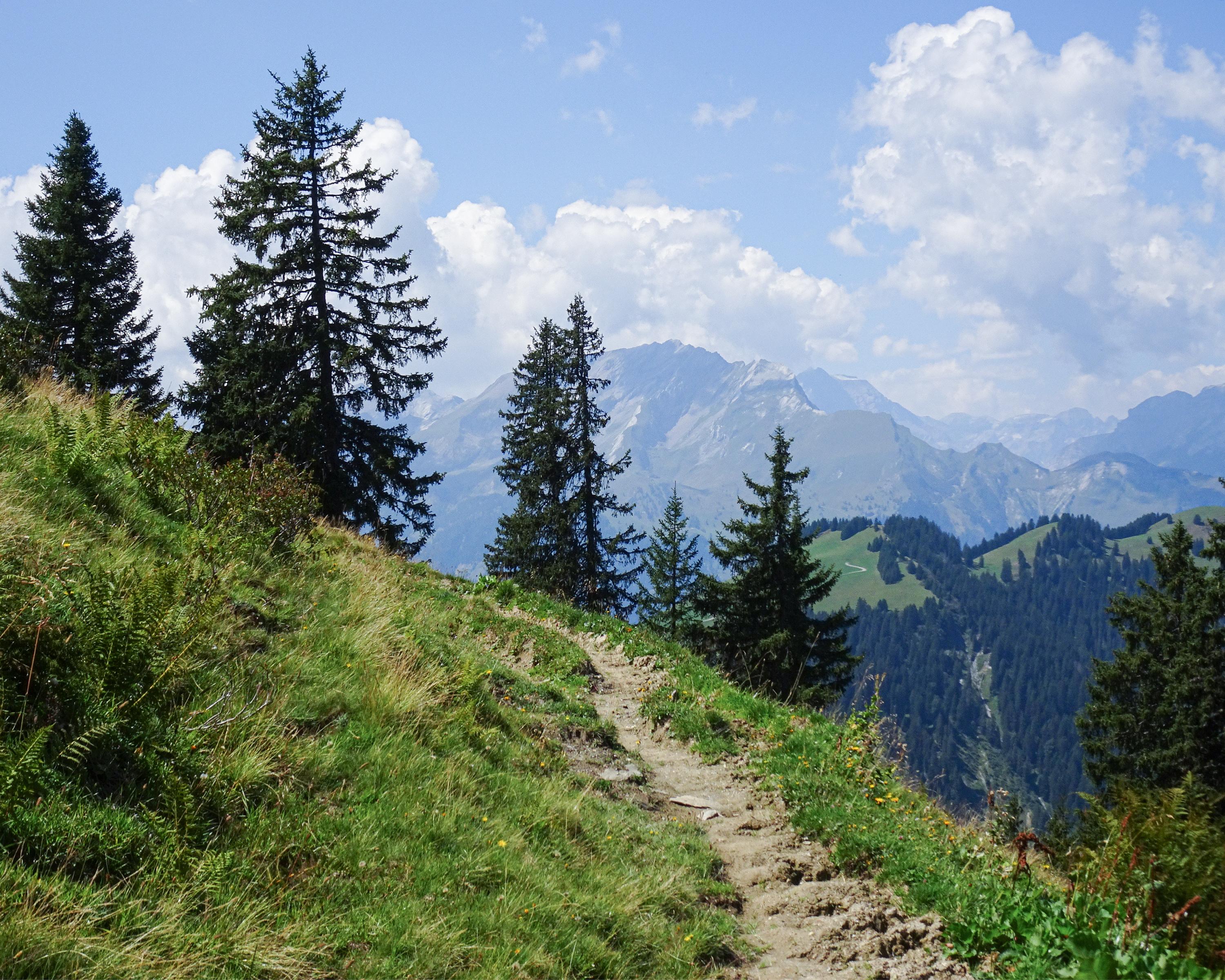
The hike offers an insight into a typical region once settled by the Walser people, with Furna, a dispersed settlement high above the Prättigau and its scattered homesteads, agriculture and forestry, and the Fadeuer as a rewarding panoramic mountain summit.

Booking Information

Height profile

Weather:

Prättigau Tourismus

Comments about this activity or place?

Thank you for your feedback!