search.ch

Via Albula/Bernina

Regional route No. 33, Le Prese–Tirano (I)
  • Image 1

Description

Regional route
No. 33 (Le Prese–Tirano (I))
Length
14 km
Ascent • Descent
↑ 300 m • ↓ 820 m
Lowest point • Highest point
429 m • 1087 m
Hiking time
3 h 50 min
Grade
medium (mountain hiking trail)
Fitness level
medium
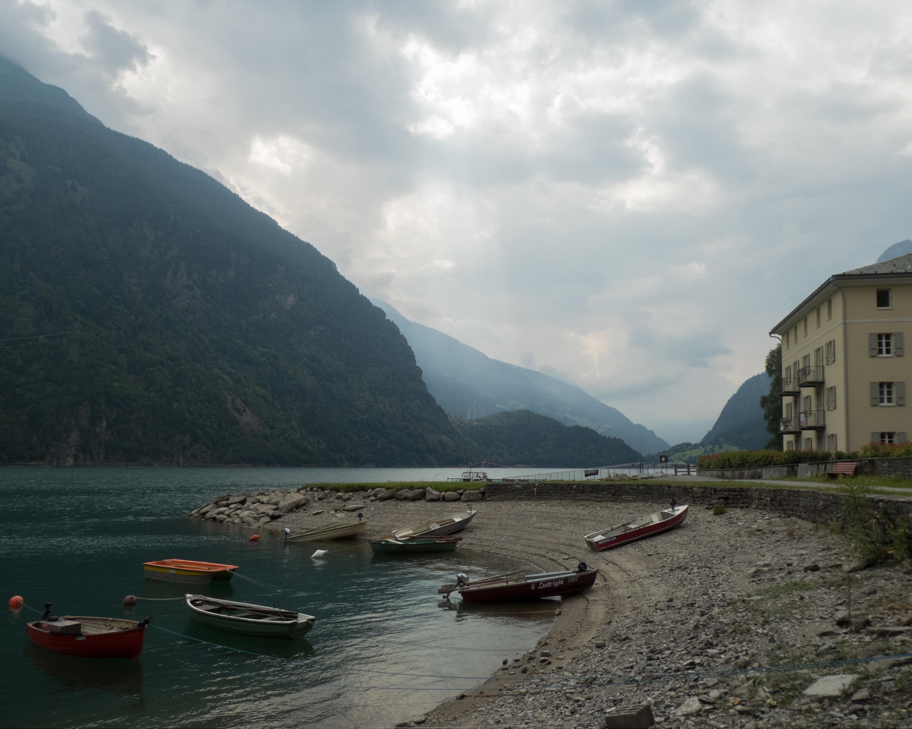
The gently descending route on the way to Italy leads through orchards, chestnut groves and vineyards. On foot, you almost completely circle the famous spiral viaduct of Brusio. Lago di Poschiavo, the tree-covered steep mountainsides and the Veltlin valley opening up offer striking views.

Height profile

Weather:

Comments about this activity or place?

Thank you for your feedback!