DE
FR
IT
EN
Directory
Weather
Map / Route
Timetable
Leisure
TV guide
Cinema
Web search
Apps
More
Personal Data »
Login:
Register
Password forgotten
or
Log in with local.ch
Log in with Apple
Log in with Facebook
Log in with Google
Log in with LinkedIn
Please note that our new
privacy statement
as well as the revised
terms and conditions of use
apply.
Leisure
Hike in Canton of Vaud
ViaFrancigena
Regional route No. 70, Lausanne–Vevey
Description
Regional route
No. 70 (Lausanne–Vevey)
Length
20 km
Ascent • Descent
↑ 440 m • ↓ 420 m
Lowest point • Highest point
372 m • 503 m
Hiking time
5 h 15 min
Grade
easy (hiking trail)
Fitness level
difficult
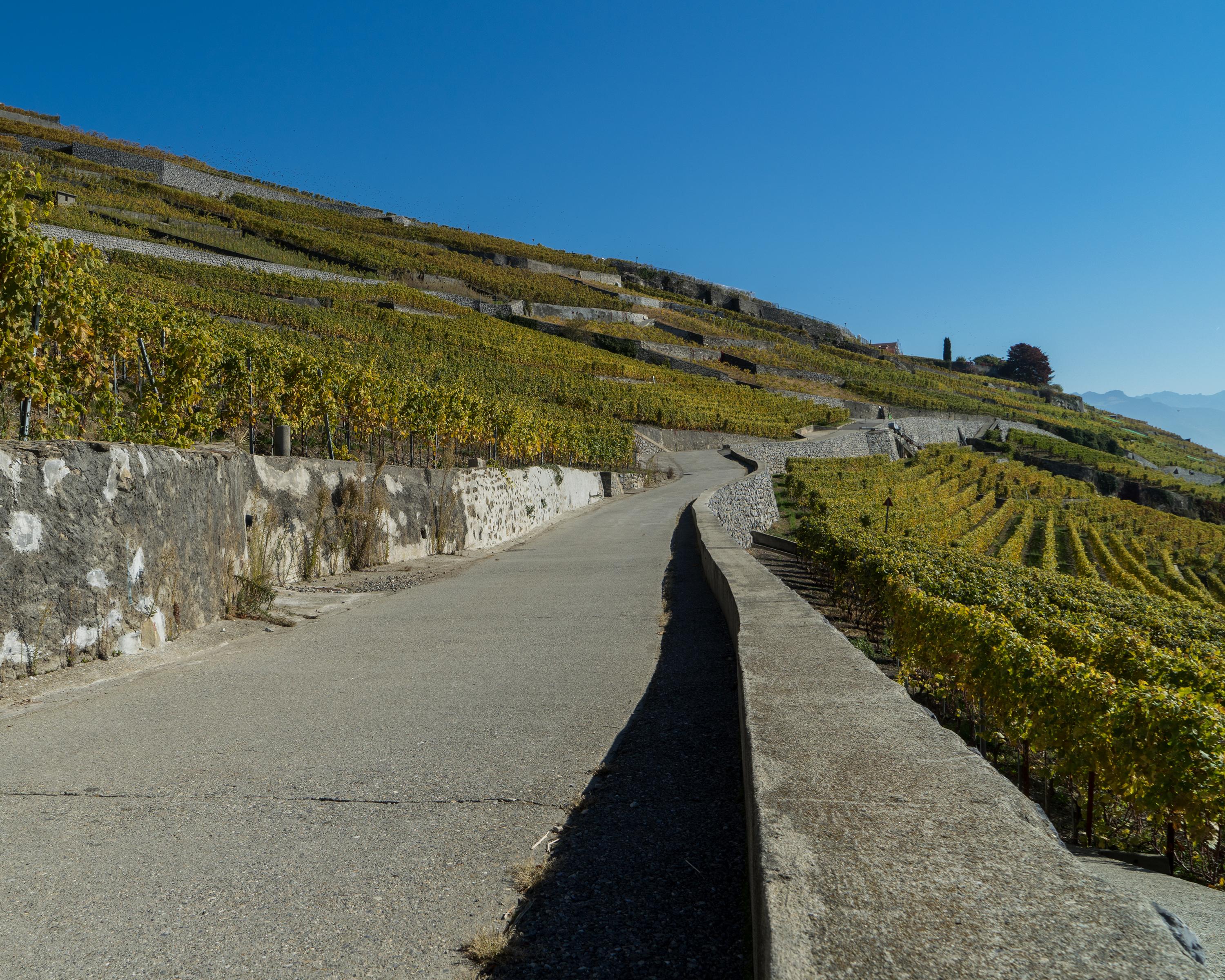
From the quays in Ouchy, the Via Francigena runs along the banks of Lake Geneva to Villette. It then winds its way through the Lavaux Terraces, a UNESCO World Heritage Site, offering a superb view across Lake Geneva.
Comments on this information?
We welcome your feedback!
Presented by
Route
Height profile
Weather:
More...
Comments about this activity or place?
Incorrect information
Missing information
Another topic
Thank you for your feedback!
Close