search.ch

Via Albula/Bernina

Regional route No. 33, Cavaglia–Le Prese
  • Image 1

Description

Regional route
No. 33 (Cavaglia–Le Prese)
Length
12 km
Ascent • Descent
↑ 60 m • ↓ 800 m
Lowest point • Highest point
963 m • 1704 m
Hiking time
3 h
Grade
medium (mountain hiking trail)
Fitness level
medium
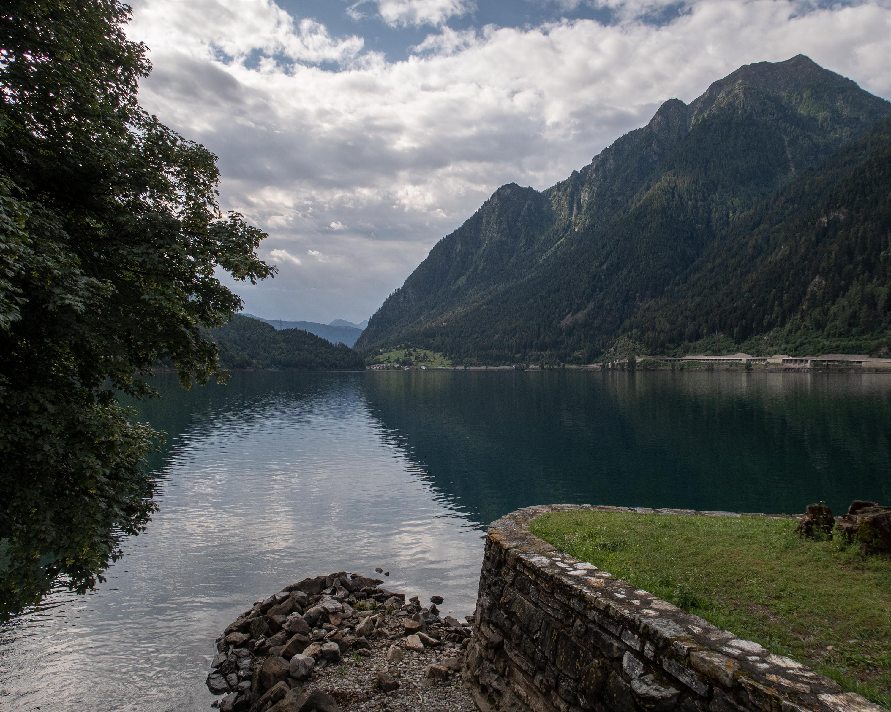
A forest trail with views of the Italian Alps in the distance leads past the glacier mills of the Cavaglia gorge down to the Poschiavo Valley. The second part of the route is flat, accompanied by the Rhaetian Railway and the burbling of the Poschiavino river.

Height profile

Weather:

Comments about this activity or place?

Thank you for your feedback!