search.ch

Alpine Passes Trail

National route No. 6, Vella–Vrin
  • Image 1

Description

National route
No. 6 (Vella–Vrin)
Length
21 km
Ascent • Descent
↑ 1500 m • ↓ 1300 m
Lowest point • Highest point
1241 m • 2309 m
Hiking time
7 h 35 min
Grade
medium (mountain hiking trail)
Fitness level
difficult
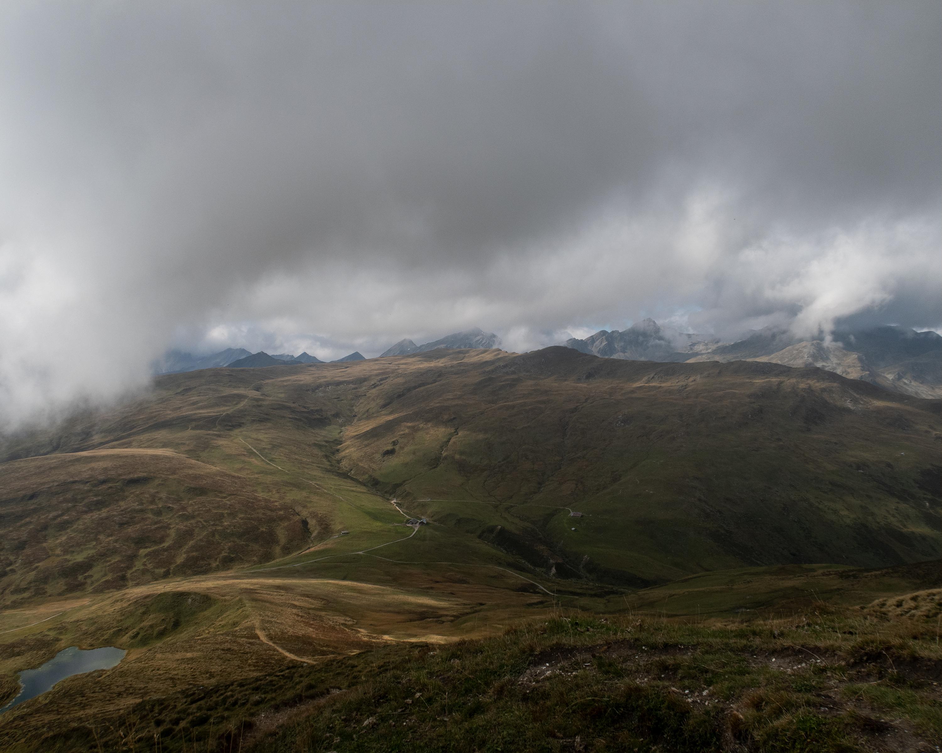
The first section of this lovely ridge path traverses meadowland and passes by a small reservoir. It climbs up to Piz Sezner between the Graubünden Oberland and Val Lumnezia, and descends into the valley again after about one kilometer. The destination is Vrin, the furthermost commune in the valley.

Height profile

Weather:

Comments about this activity or place?

Thank you for your feedback!