search.ch

ViaValtellina

Regional route No. 30, San Romerio–Tirano (I)
  • Image 1

Description

Regional route
No. 30 (San Romerio–Tirano (I))
Length
12 km
Ascent • Descent
↑ 190 m • ↓ 1550 m
Lowest point • Highest point
439 m • 1792 m
Hiking time
3 h 45 min
Grade
medium (mountain hiking trail)
Fitness level
difficult
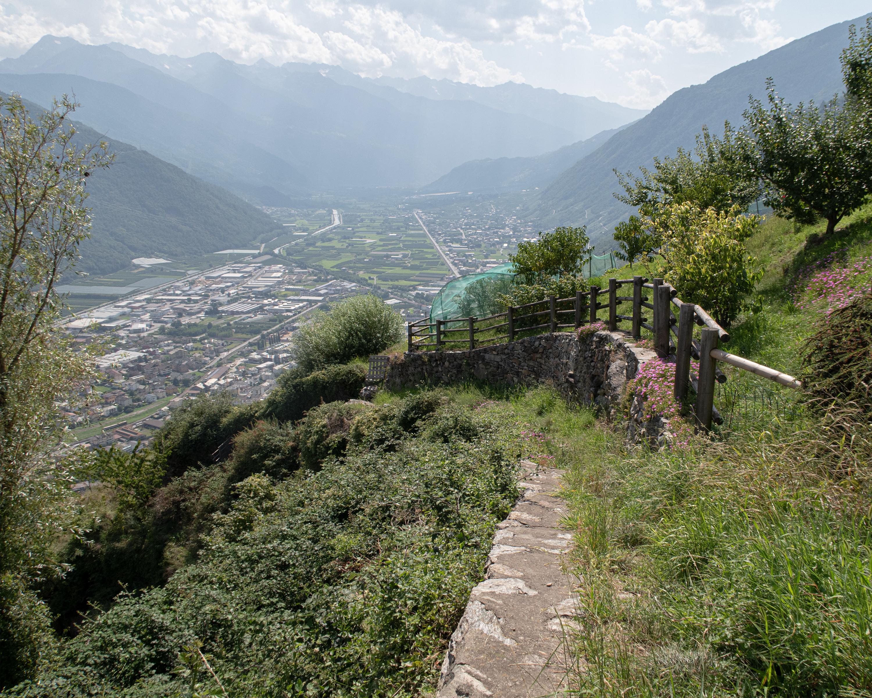
Through mountain forests, across upland pastures and along smugglers’ paths high above the Val Poschiavo from San Romerio via Viano to Italian Roncaiola. Descent through vineyards to Tirano. Appealing Alpine town with an eventful history and southern charm.

Height profile

Weather:

Comments about this activity or place?

Thank you for your feedback!