DE
FR
IT
EN
Directory
Weather
Map / Route
Timetable
Leisure
TV guide
Cinema
Web search
Apps
More
Personal Data »
Login:
Register
Password forgotten
or
Log in with local.ch
Log in with Apple
Log in with Facebook
Log in with Google
Log in with LinkedIn
Please note that our new
privacy statement
as well as the revised
terms and conditions of use
apply.
Leisure
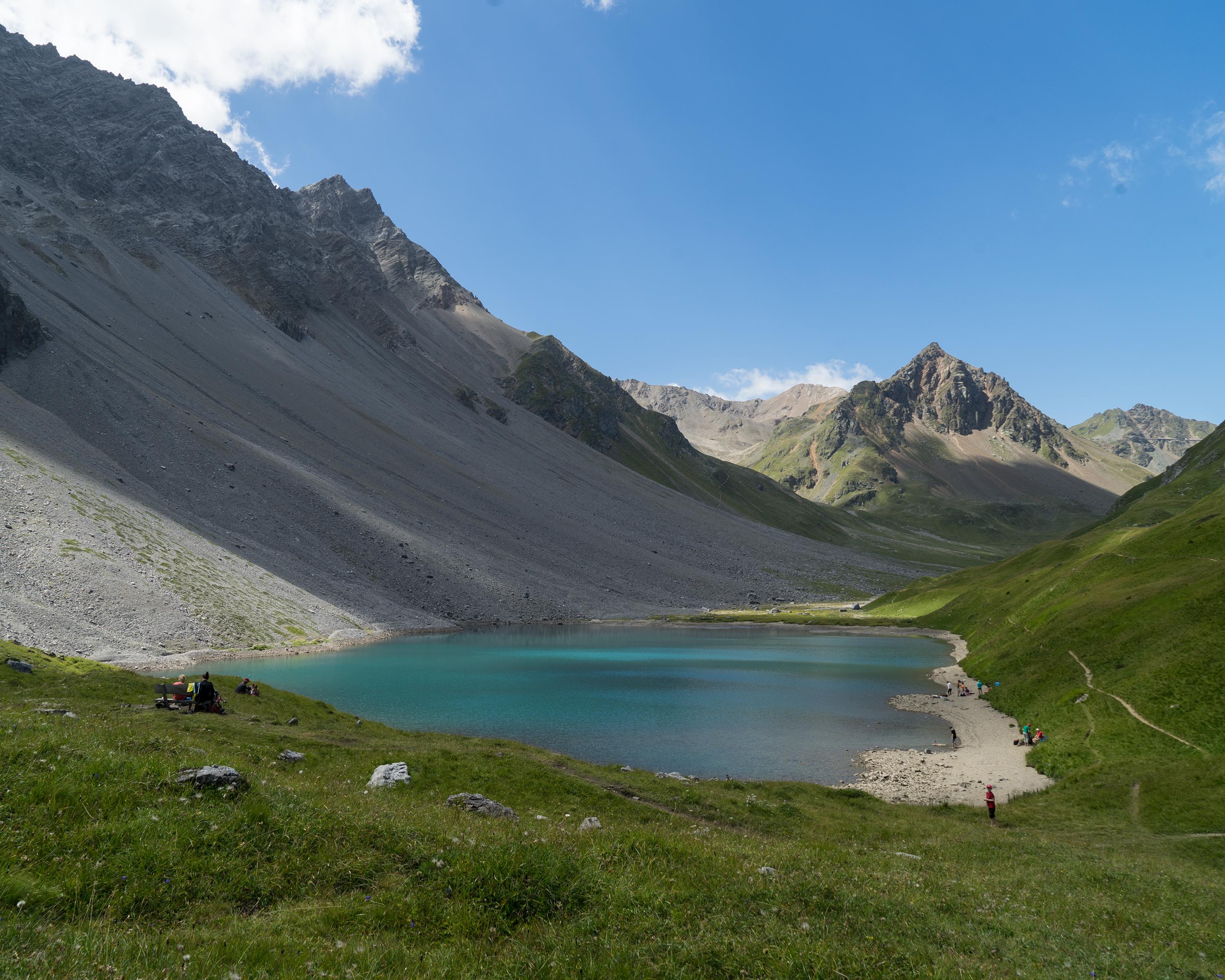
Hike in Arosa Lenzerheide
Mittelbünden-Panoramaweg
Regional route No. 54, Lenzerheide–Arosa
Description
Regional route
No. 54 (Lenzerheide–Arosa)
Length
21 km
Ascent • Descent
↑ 1600 m • ↓ 1300 m
Lowest point • Highest point
1474 m • 2855 m
Hiking time
7 h 50 min
Grade
medium (mountain hiking trail)
Fitness level
difficult
From Lenzerheide up to the ferruginous Parpaner Rothorn where ore was mined long ago – such as at Totälpli. Hardly any traces now remain on the descent. Further down is Arosa – with all its touristic amenities.
Comments on this information?
We welcome your feedback!
Presented by
Route
Height profile
Weather:
More...
Comments about this activity or place?
Incorrect information
Missing information
Another topic
Thank you for your feedback!
Close