search.ch

Walliser Sonnenweg

Regional route No. 61, Gampel–Ausserberg
  • Image 1

Description

Regional route
No. 61 (Gampel–Ausserberg)
Length
12 km
Ascent • Descent
↑ 640 m • ↓ 260 m
Lowest point • Highest point
640 m • 1034 m
Hiking time
3 h 40 min
Grade
easy (hiking trail)
Fitness level
medium
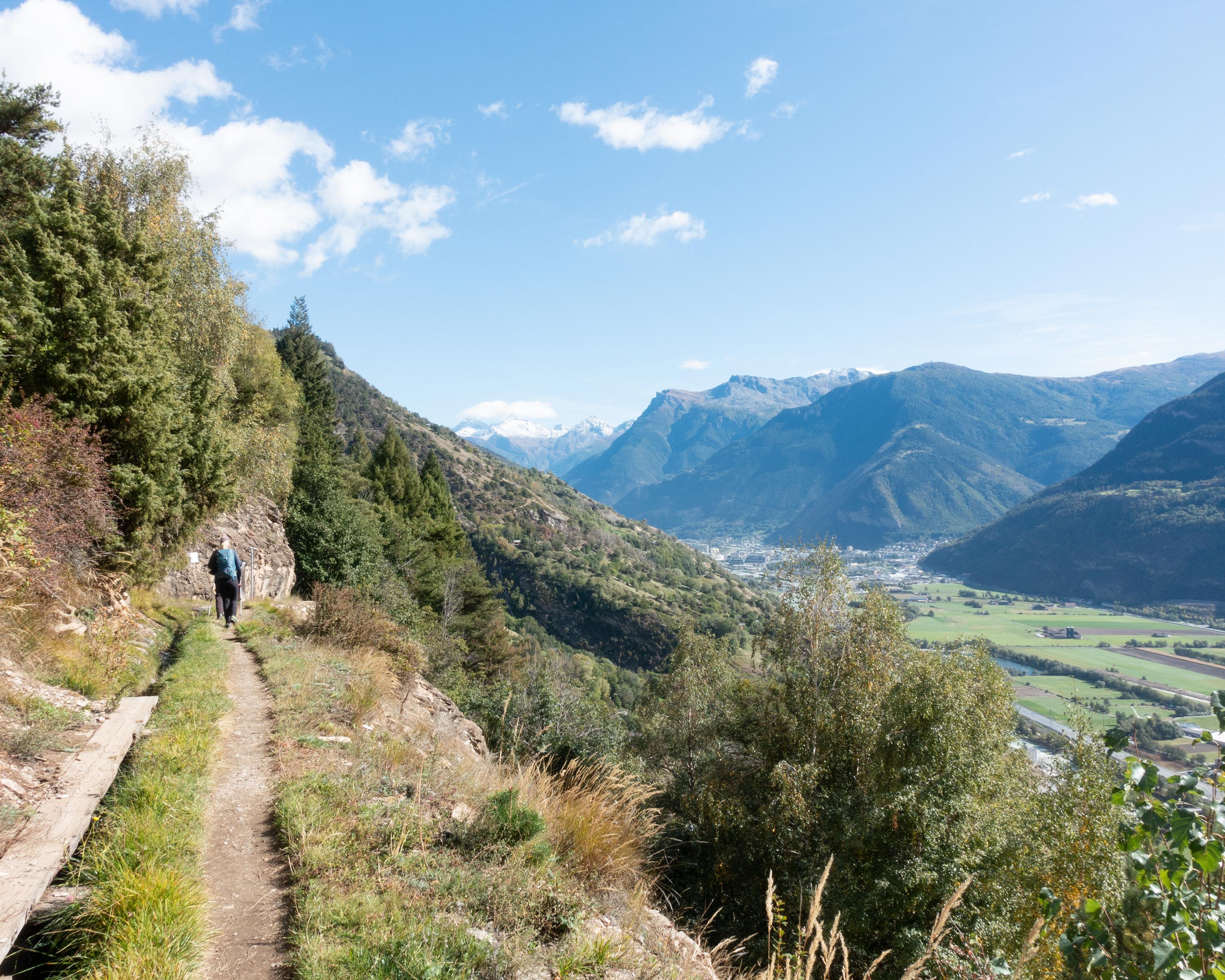
Panoramic hike on high-level BLS railway Südrampe (south ramp). Popular classic hike beside the Lötschberg Railway tracks to imposing Bietschtal bridge. Lovely path beside historic water channels (suonen) to hanging bridge; superb views at Brägji and Riedgarten.

Height profile

Weather:

Comments about this activity or place?

Thank you for your feedback!