Local route No. 150, Stage 0: Crans-Montana – Crans-Montana
Description
Local route
No. 150
Length
15 km
Ascent • Descent
↑ 440 m • ↓ 440 m
Lowest point • Highest point
1454 m • 1804 m
Fitness level
medium
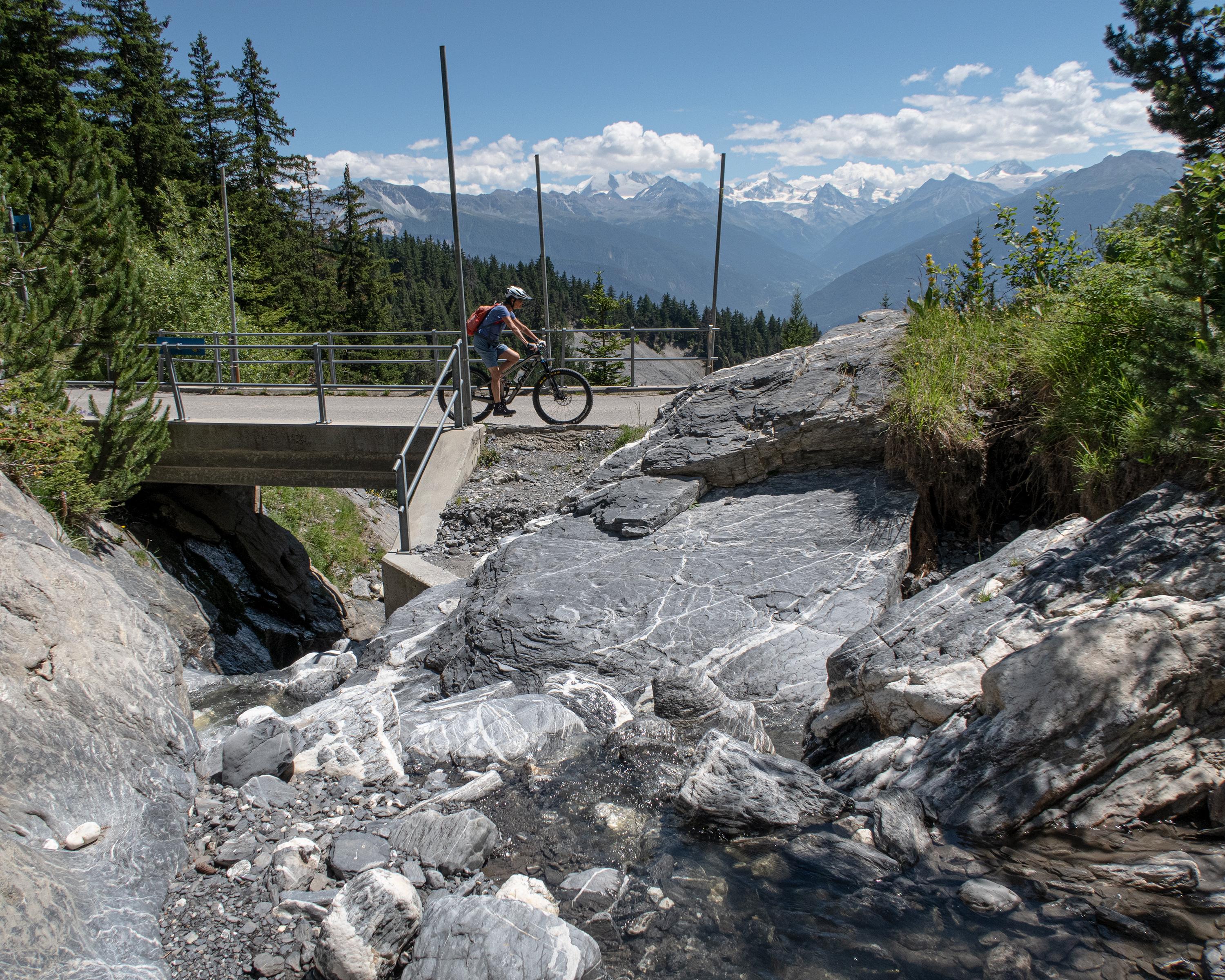
Magnificent itinerary in the Aminona region, showcasing pristine natural landscapes and breathtaking views of the Valais Alps. Highlight of this route, accessible to all, is the ascent to the Col de Crans-Montana