search.ch

Züri Oberland-Höhenweg

Regional route No. 69, Girenbad–Hulftegg
  • Image 1

Description

Regional route
No. 69 (Girenbad–Hulftegg)
Length
21 km
Ascent • Descent
↑ 900 m • ↓ 680 m
Lowest point • Highest point
597 m • 1005 m
Hiking time
6 h
Grade
easy (hiking trail)
Fitness level
difficult
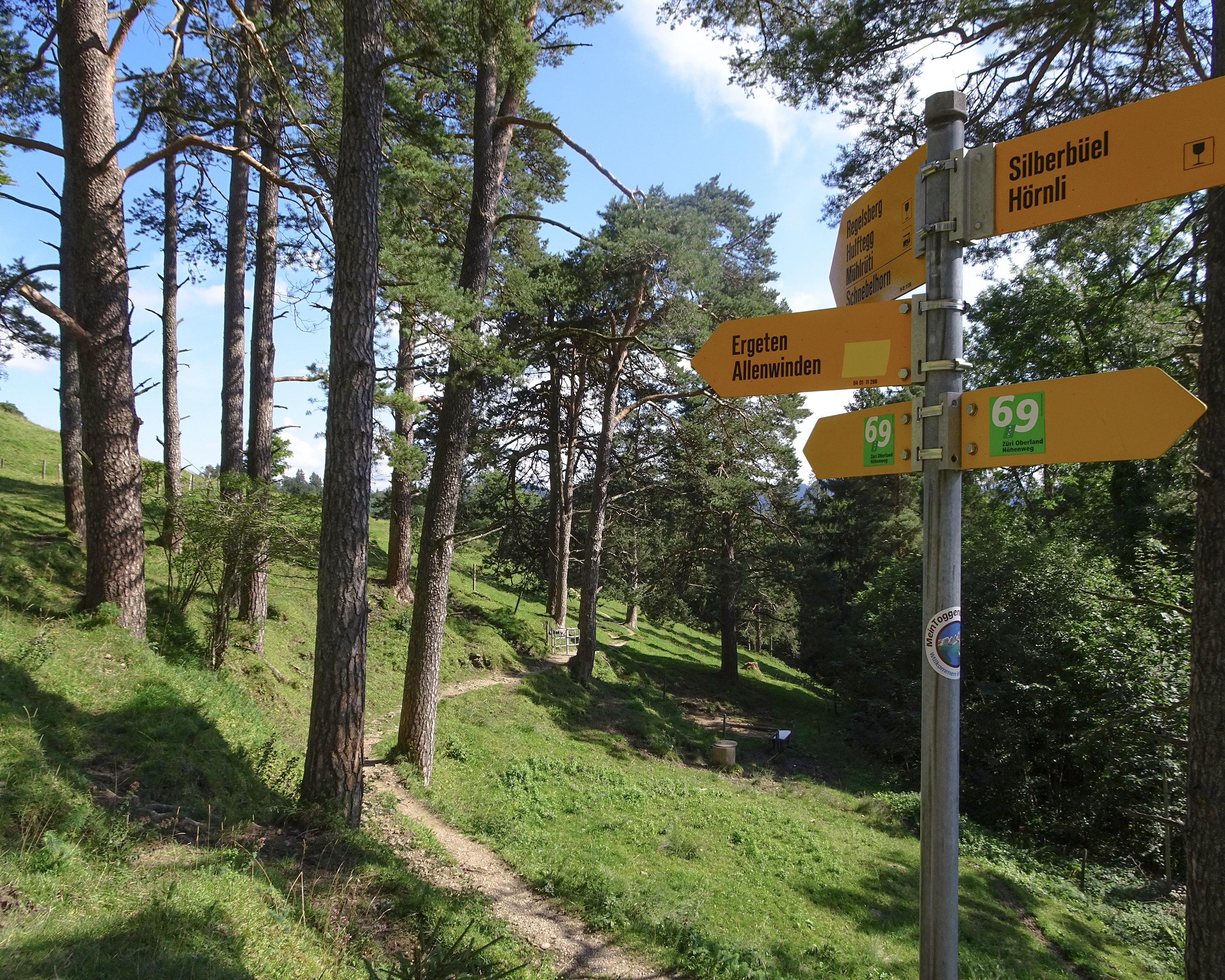
The Schauenberg offers magnificent views of the Alps. After idyllic Bichelsee lake, the ridge walk begins, with views into countless valleys. Over Pro Natura’s Alp Ergeten with a pre-Alpine character and extensive farming, to the head of the Hulftegg Pass.

Height profile

Weather:

Comments about this activity or place?

Thank you for your feedback!