search.ch

Via Engiadina

Regional route No. 87, Sent–Tschlin
  • Image 1

Description

Regional route
No. 87 (Sent–Tschlin)
Length
16 km
Ascent • Descent
↑ 700 m • ↓ 640 m
Lowest point • Highest point
1430 m • 1804 m
Hiking time
4 h 50 min
Grade
easy (hiking trail)
Fitness level
medium
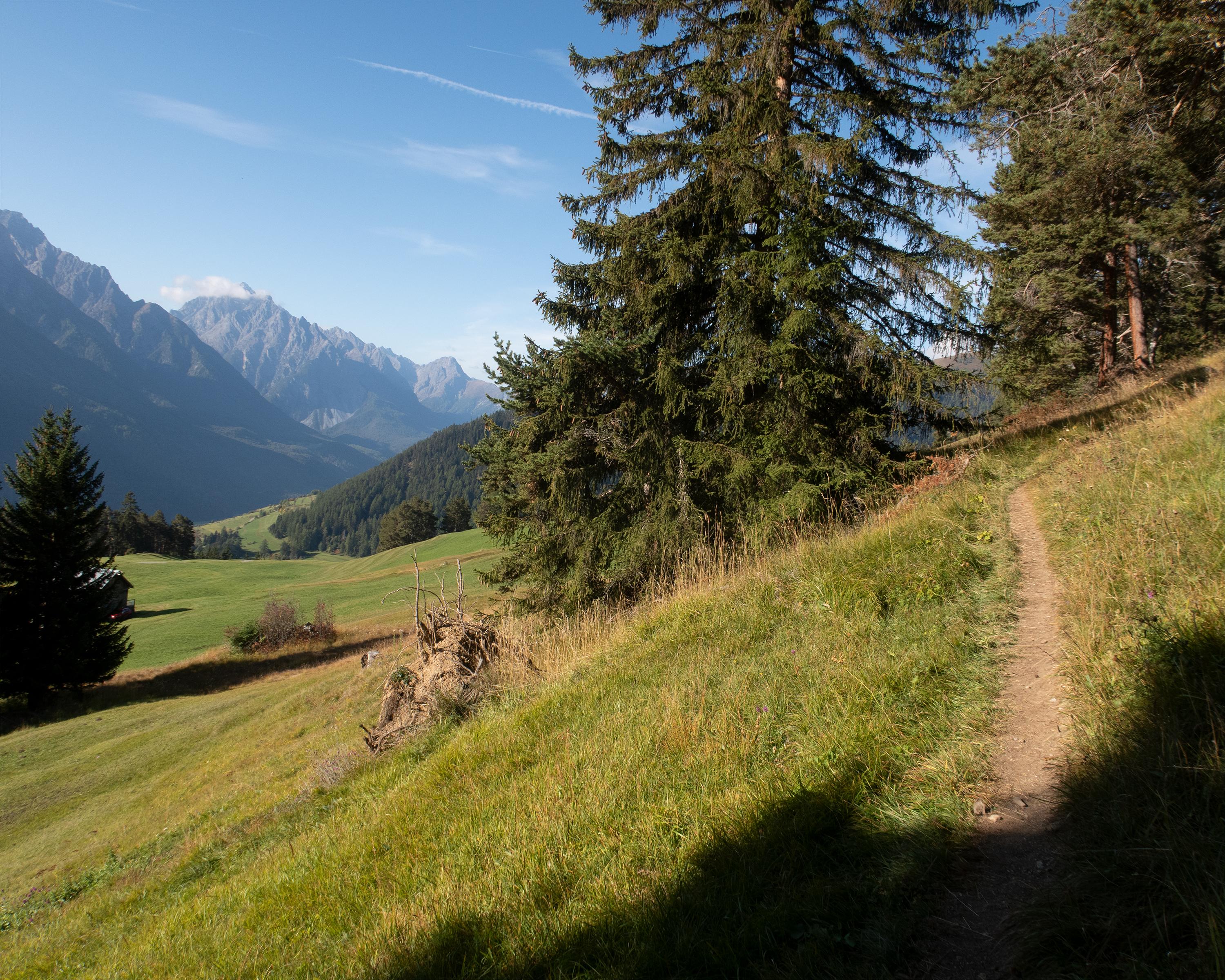
The attractive and rather flat hike on the hillside runs through the forest and deep into Val Sinestra, to the legendary haunted hotel of the same name. The valley is known for its mineral springs and abundance of orchids. The three typical Engadine villages of Sent, Vnà and Tschlin tell the story of the Lower Engadine.

Height profile

Weather:

Comments about this activity or place?

Thank you for your feedback!