search.ch

Ostschweizer Wein-Route

Regional route No. 26, Schaffhausen–St. Gallen
  • Image 1

Description

Regional route
No. 26 (Schaffhausen–St. Gallen)
Length
90 km
Ascent • Descent
↑ 1100 m • ↓ 820 m
Lowest point • Highest point
373 m • 695 m
Fitness level
medium
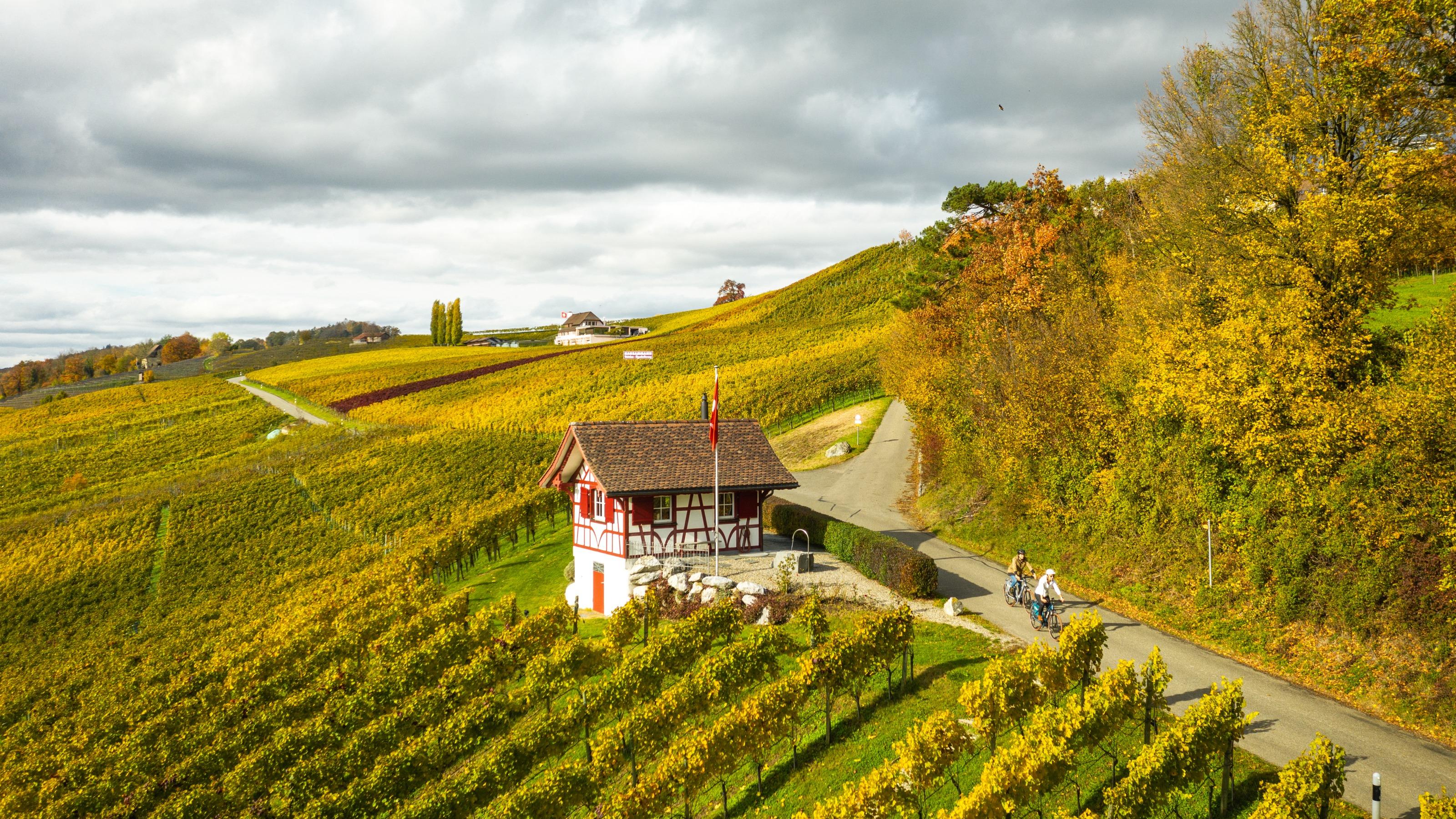
From Schaffhausen through Zurich’s wine country and the vineyard-lined Thur plain to Weinfelden. The Carthusian Monastery in Ittingen and Bischofszell lie along the way. The green Fürstenland finally ends in the industrial corridor of Gossau-St.Gallen.

Height profile

Weather:

Comments about this activity or place?

Thank you for your feedback!