search.ch

Senda Lag Crest Ault

Local route No. 677, Disentis, Caischavedra–Disentis, S. Catrina
  • Image 1

Description

Local route
No. 677 (Disentis, Caischavedra–Disentis, S. Catrina)
Length
11 km
Ascent • Descent
↑ 560 m • ↓ 1200 m
Lowest point • Highest point
1216 m • 2270 m
Hiking time
4 h
Grade
medium (mountain hiking trail)
Fitness level
difficult
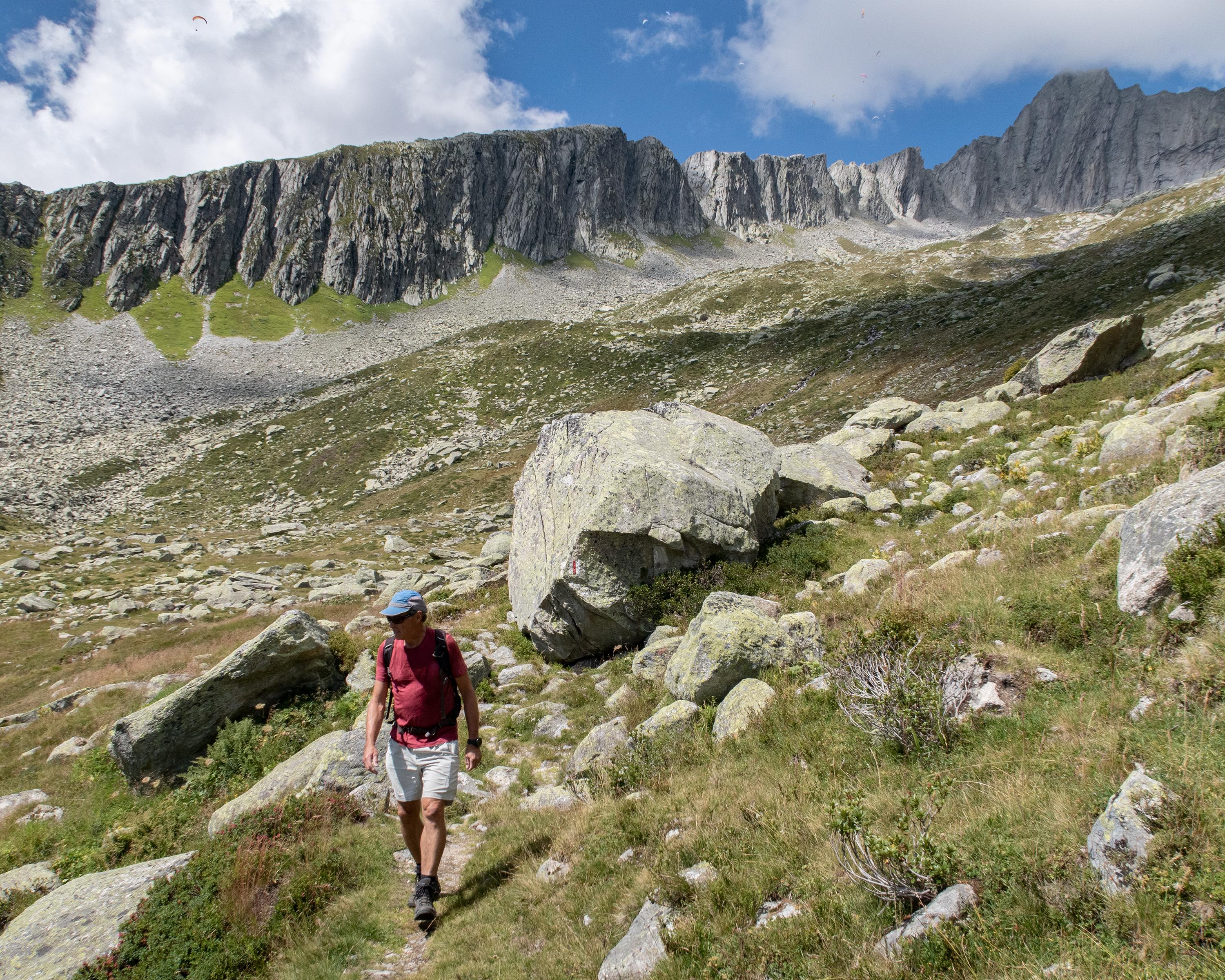
The lakes of Lag Serein and Lag Crest Ault nestle in little hollows below the rugged rocky faces of Piz Acletta and Piz Run. There are picnic spots along the shores of the lakes, with fantastic views of the mountain range opposite, featuring the Medelser Glacier.

Booking Information

Height profile

Weather:

Sedrun Disentis Tourismus

Comments about this activity or place?

Thank you for your feedback!