DE
FR
IT
EN
Directory
Weather
Map / Route
Timetable
Leisure
TV guide
Cinema
Web search
Apps
More
Personal Data »
Login:
Register
Password forgotten
or
Log in with local.ch
Log in with Apple
Log in with Facebook
Log in with Google
Log in with LinkedIn
Please note that our new
privacy statement
as well as the revised
terms and conditions of use
apply.
Leisure
Hike in Schaffhausen Regional Nature Park
Klettgau-Rhein-Weg
Regional route No. 34, Siblinger Randenhaus–Schaffhausen
Description
Regional route
No. 34 (Siblinger Randenhaus–Schaffhausen)
Length
27 km
Ascent • Descent
↑ 540 m • ↓ 950 m
Lowest point • Highest point
399 m • 877 m
Hiking time
7 h
Grade
easy (hiking trail)
Fitness level
difficult
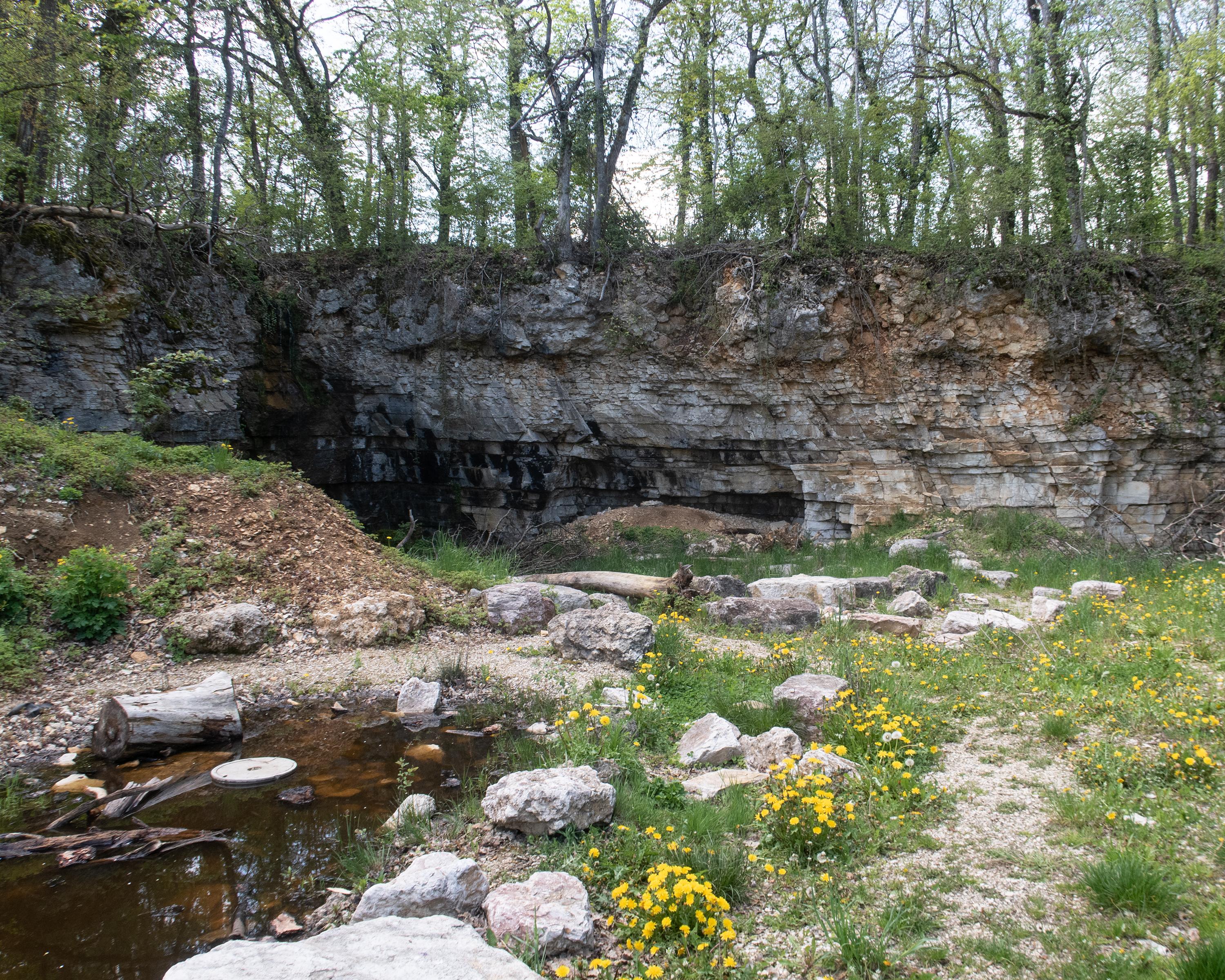
The route continues across wooded hilltops, through valleys, fields and villages that are worth seeing, such as Merishausen, Büttenhardt and Lohn, then past Herblingen Castle to the attractive old town of Schaffhausen.
Comments on this information?
We welcome your feedback!
Presented by
Route
Height profile
Weather:
More...
Comments about this activity or place?
Incorrect information
Missing information
Another topic
Thank you for your feedback!
Close