search.ch

Züri Oberland-Höhenweg

Regional route No. 69, Winterthur–Girenbad
  • Image 1

Description

Regional route
No. 69 (Winterthur–Girenbad)
Length
19 km
Ascent • Descent
↑ 680 m • ↓ 400 m
Lowest point • Highest point
439 m • 789 m
Hiking time
5 h 15 min
Grade
easy (hiking trail)
Fitness level
difficult
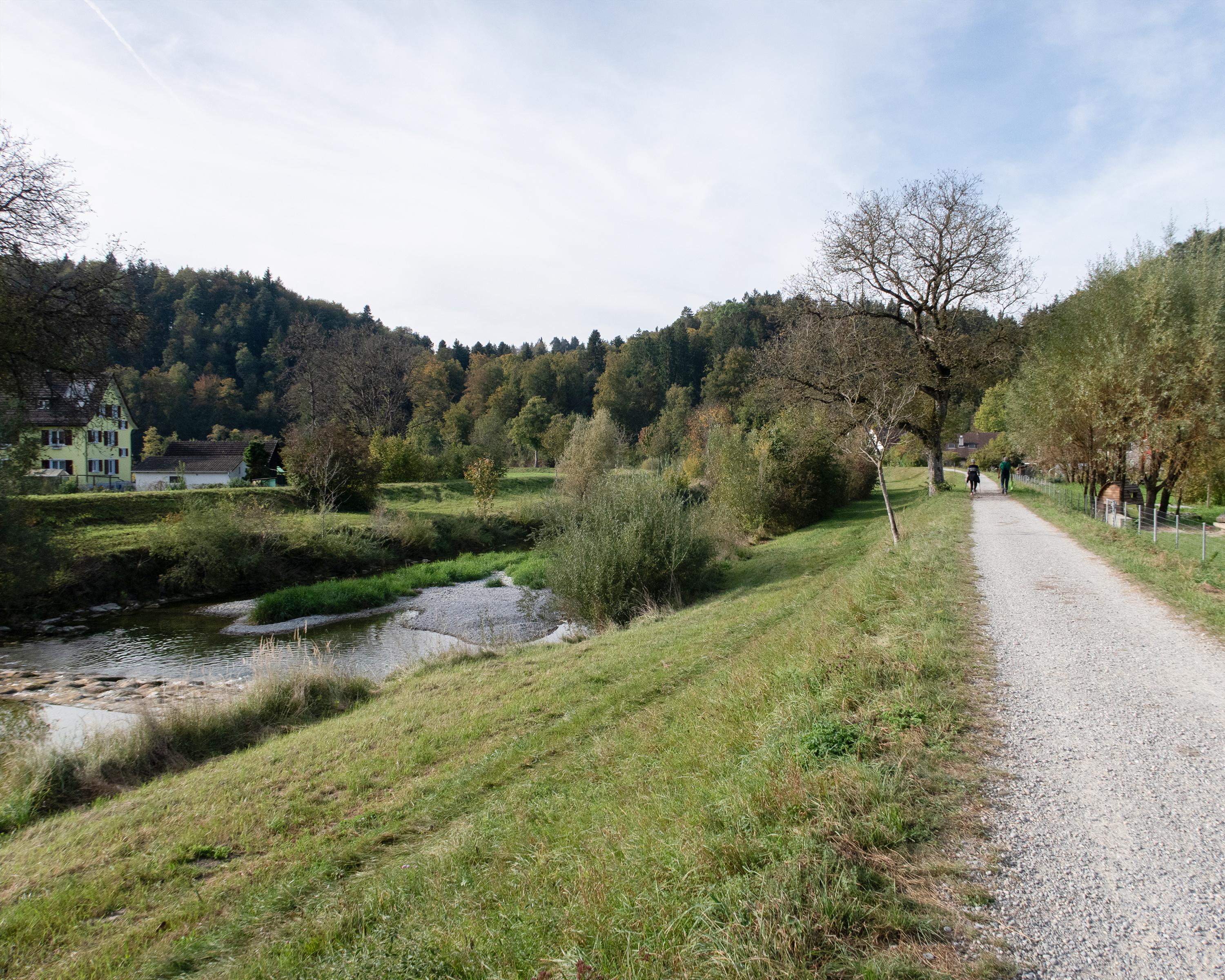
25-m-high steel observation tower on Eschenberg. Along the Töss embankment to Kollbrunn, a part of Zell, well-known for its nativity play «D' Zäller Wiehnacht» (The Zell Christmas). Over sunny, well-farmed slopes to Hotel Gyrenbad with its historic ambiance.

Height profile

Weather:

Comments about this activity or place?

Thank you for your feedback!