DE
FR
IT
EN
Directory
Weather
Map / Route
Timetable
Leisure
TV guide
Cinema
Web search
Apps
More
Personal Data »
Login:
Register
Password forgotten
or
Log in with local.ch
Log in with Apple
Log in with Facebook
Log in with Google
Log in with LinkedIn
Please note that our new
privacy statement
as well as the revised
terms and conditions of use
apply.
Leisure
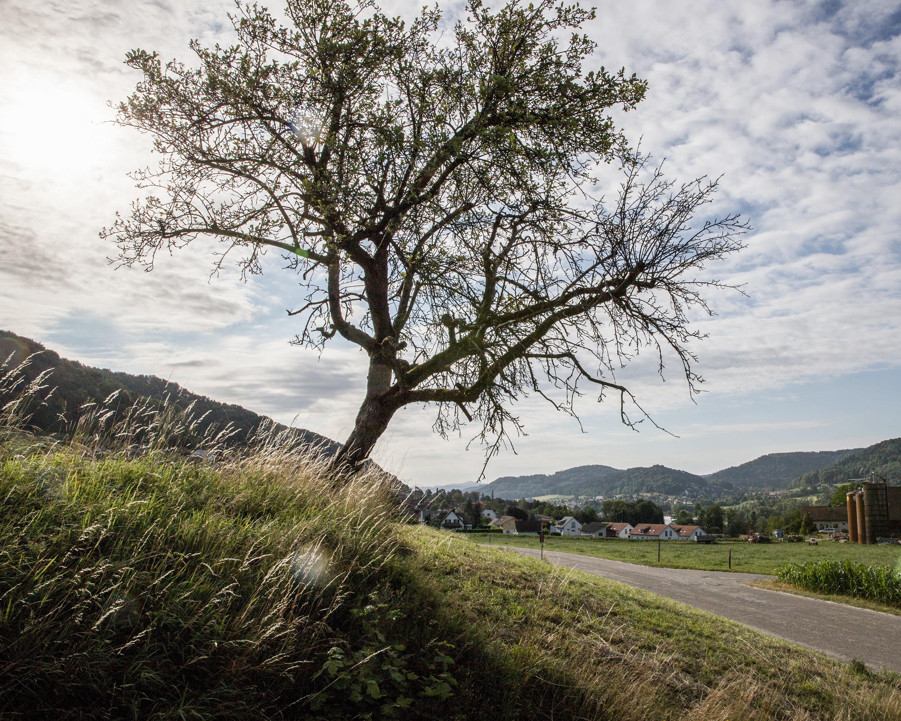
Biking in Zurich Region
Töss-Jona-Route
Regional route No. 53, Eglisau–Turbenthal
Description
Regional route
No. 53 (Eglisau–Turbenthal)
Length
38 km
Ascent • Descent
↑ 420 m • ↓ 260 m
Lowest point • Highest point
344 m • 548 m
Fitness level
medium
Idyllic Tössegg at the bend in the Rhine, first a rural interlude then initial signs of industrialization, proud machine and locomotive builders in Winterthur and rows of lovingly converted workers’ cottages.
Comments on this information?
We welcome your feedback!
Presented by
Route
Height profile
Weather:
More...
Comments about this activity or place?
Incorrect information
Missing information
Another topic
Thank you for your feedback!
Close